Difficulty level
E
Hiking
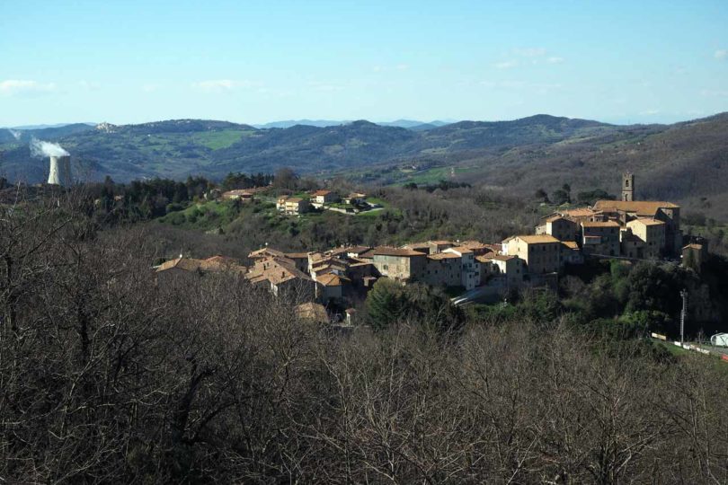
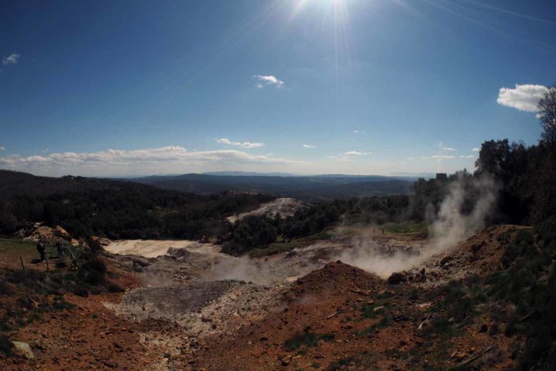
C12 The Terre Fumanti (Steaming Soil) between Sasso Pisano and Monterotondo
This is a unique itinerary which, starting from the village of Sasso Pisano, leads to the heart of the natural phenomena caused by geothermal energy.
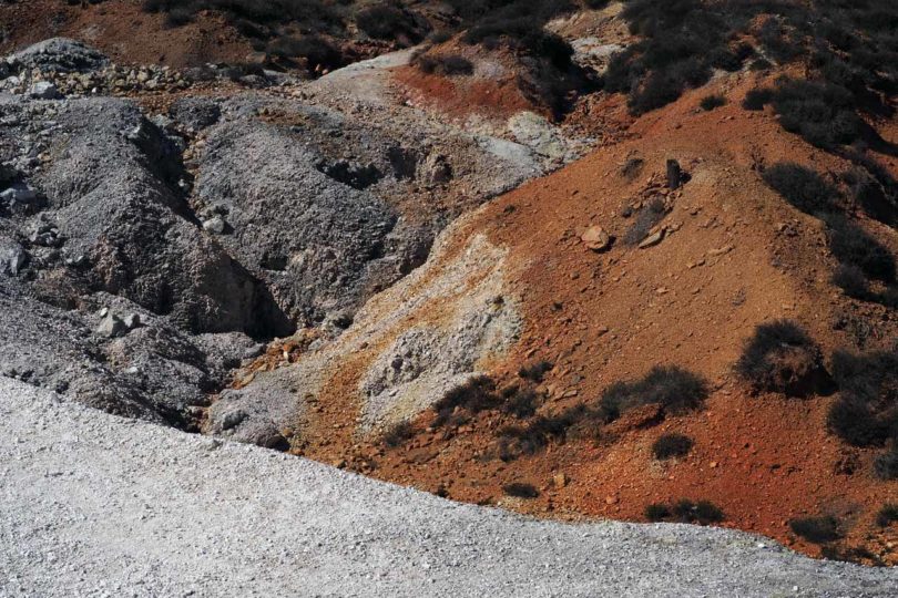
As you walk over rocks reddened by steam, you can observe the surface hydrothermal phenomena that have been occurring here since the dawn of time, and you can really feel the living, pulsating forces of nature.
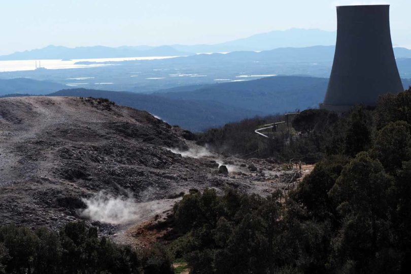
The fumaroles, the boiling fountains, the slowly growing sulphur crystals and the bizarre structures reveal an unusual and colourful world: an environment similar to volcanic landscapes, but in its own way inimitable, rich in geological alterations that have generated very special habitats. Few plant species manage to survive the heat or the extreme acidity of the soil, including the common heather (Calluna Vulgaris).
Also worthy of note is the abundant presence of the cork oak, which thrives at altitudes of over 600 metres thanks to its specific microclimate. For centuries, the area has been an authentic mining treasure, coveted and fought over for its many resources, including Vitriol, Alum, Kaolin and Boron.
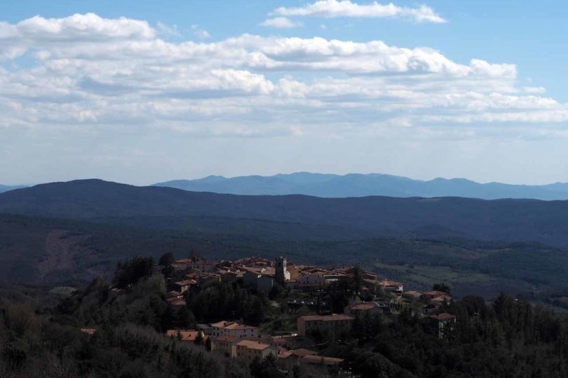
The route climbs up to a panoramic spot in the Biancane di Monterotondo Marittimo Nature Park, with spectacular views stretching out to the sea, and then turns back down to Sasso through ancient chestnut woods, some of which are still in operation.