Difficulty level
E
Hiking
The Montenero Nature Reserve Ring Route
DOWNLOAD THE MONTENERO ROUTE PDF
The starting point of the route can be reached from Prato d’Era, near Volterra, along the dirt road that leads to the Monte Nero Reserve.
This route is part of the “7 Sentieri Natura delle Riserve Naturali” (7 Nature Trails of the Nature Reserves) and it also features a guidebook with marked and numbered waypoints along the way, and it is dedicated to the discovery of the rugged Monte Nero relief and the small, narrow valley of the Strolla stream, now a Regional Nature Reserve.
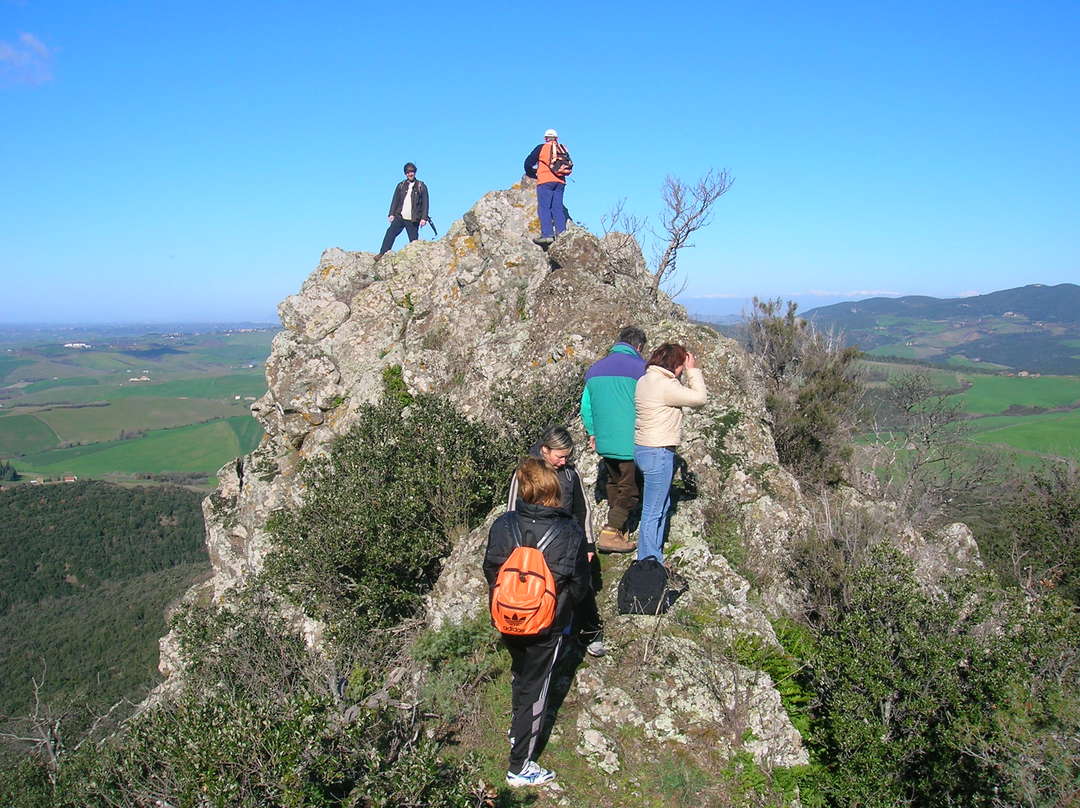
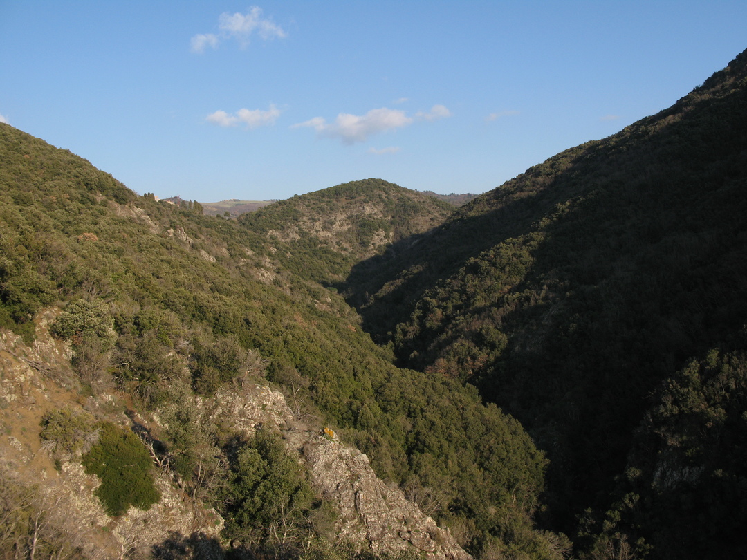
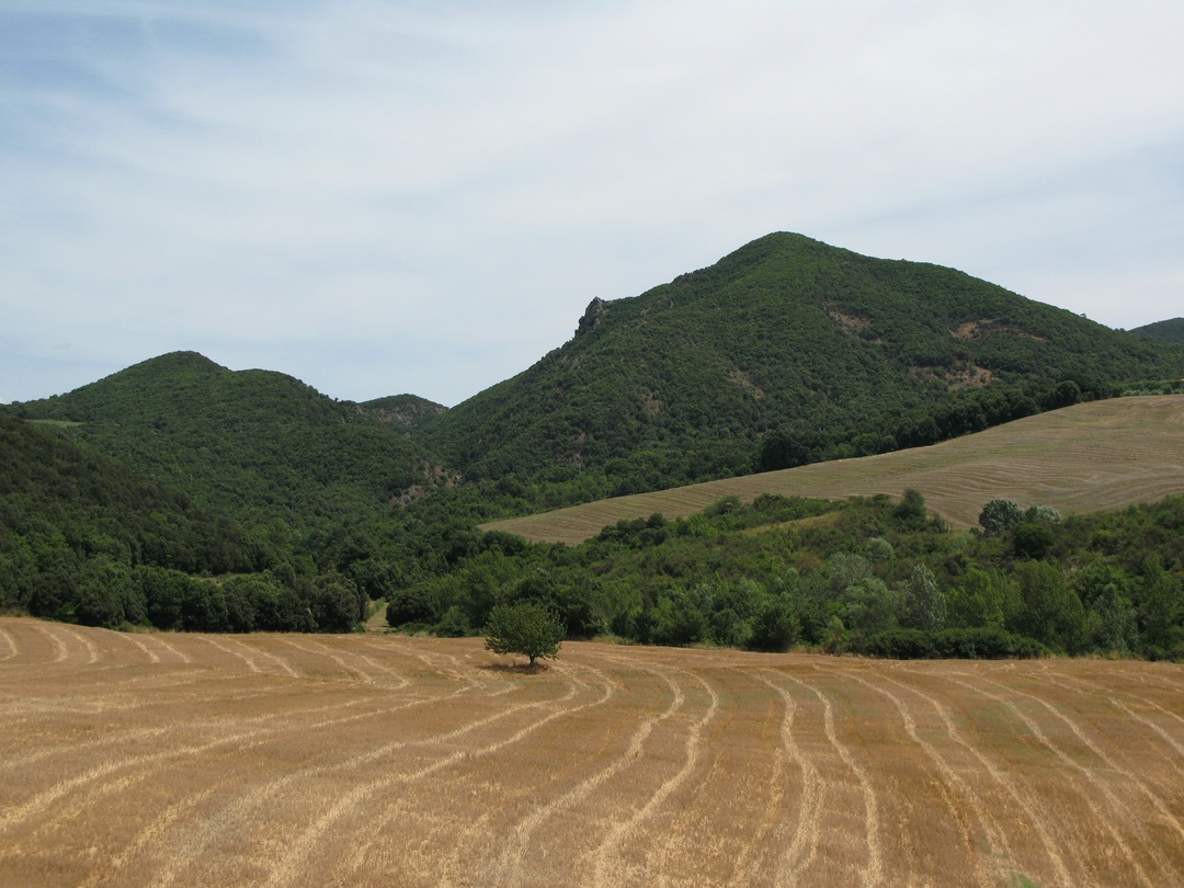
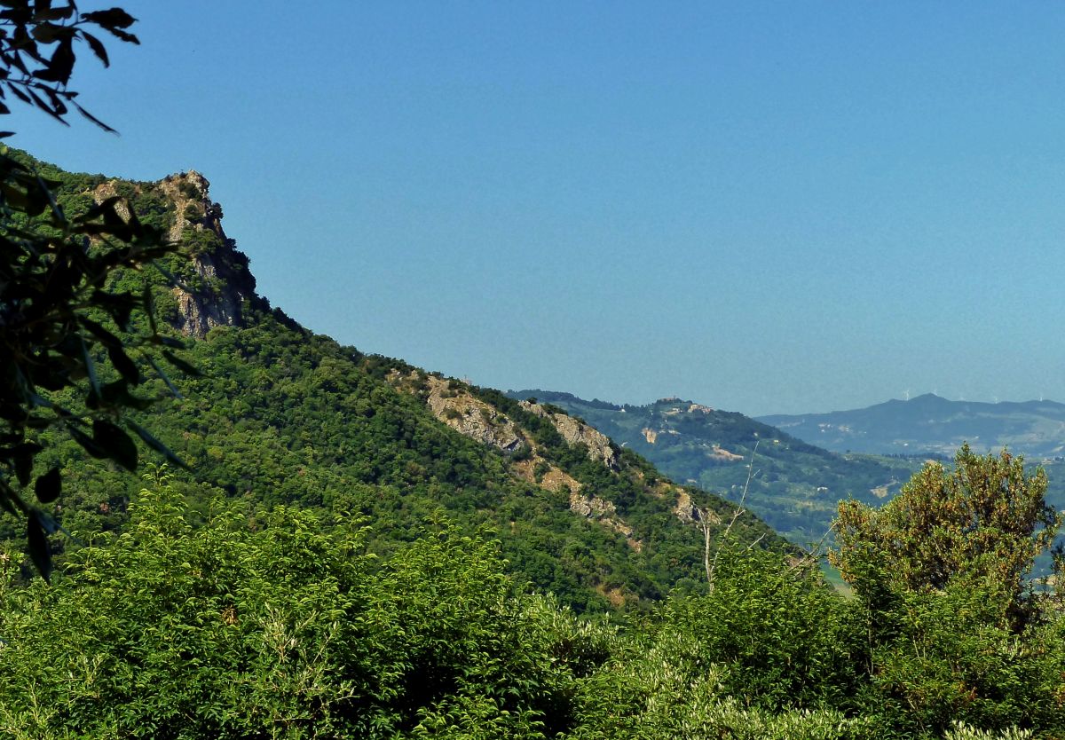
This is a true “island” of woods and rocky outcrops, rugged and wild, immersed in the gentle agricultural landscape of the Alta Val d’Era. Visitors will find themselves welcomed into a veritable treasure trove of biodiversity, with cool broadleaf woods, shady holm oak woods, dense and intricate thickets, rocky scrubland and dry meadows chasing after one another along the route.
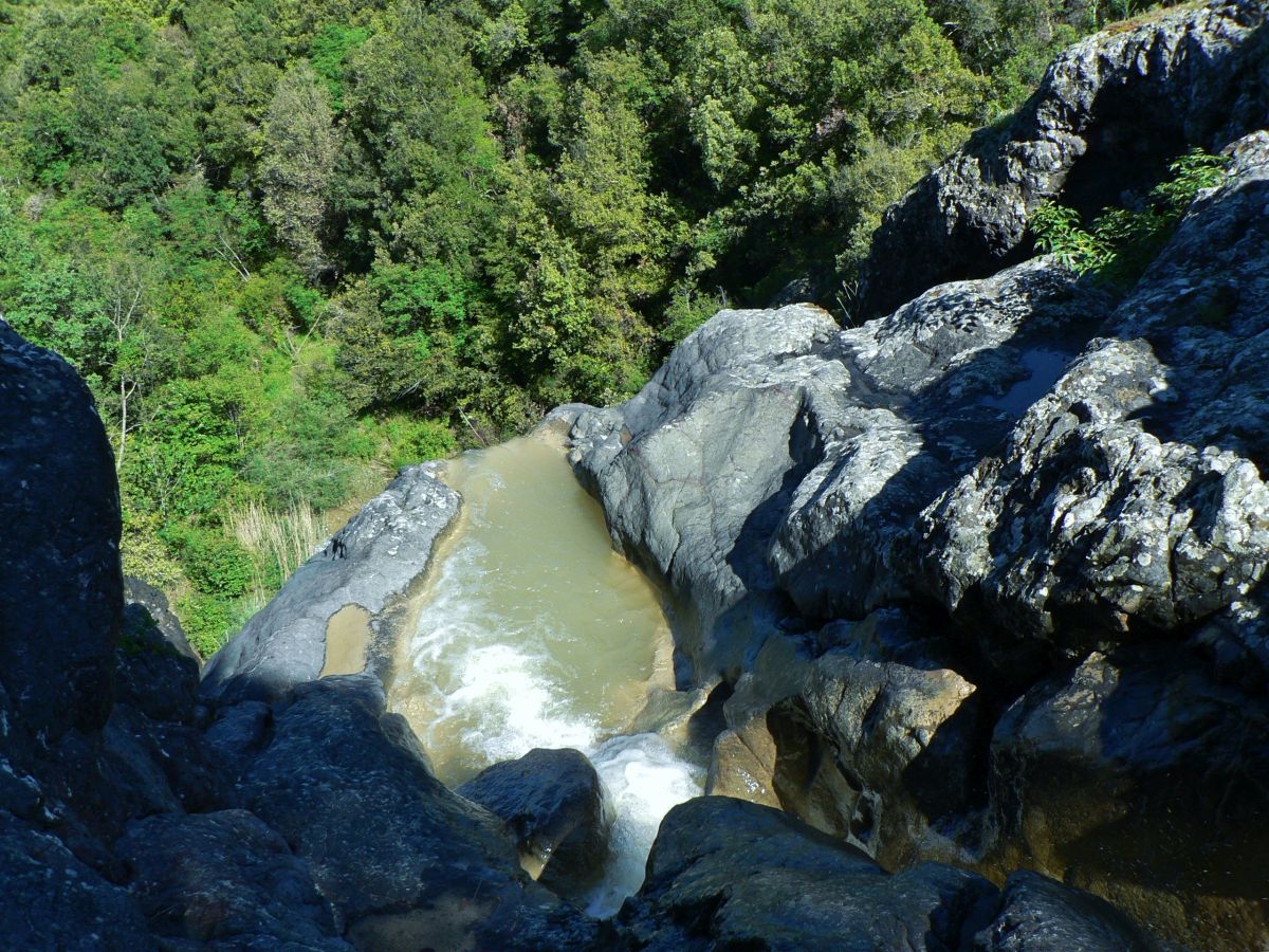
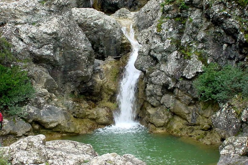
Some extraordinary viewpoints will allow you to observe the entire valley and, with a little luck, the flight of birds of prey such as the Short-toed Eagle. Halfway along the route you will reach the crossing of the Strolla stream, at a particularly beautiful point, with a waterfall of over 30 metres.
Further upstream, numerous “Cascatelle” (small waterfalls) and vast pools of water alternate in a narrow gorge carved out by the torrent. The second half of the path will take you on the traces of some ancient tracks connected to the salt roads and will lead you to discover important historical testimonies, such as the legendary Fonte del Latte (Milk Spring), but above all the characteristic Pieve della Nera, built around 1000 A.D.