Difficulty level
T/E
Hiking
On Horseback
The Poggio Vecchio ring route
The starting point of the route can be reached from the villages of Libbiano, Micciano and Serrazzano, following the easy dirt road that leads to the Monterufoli Reserve.
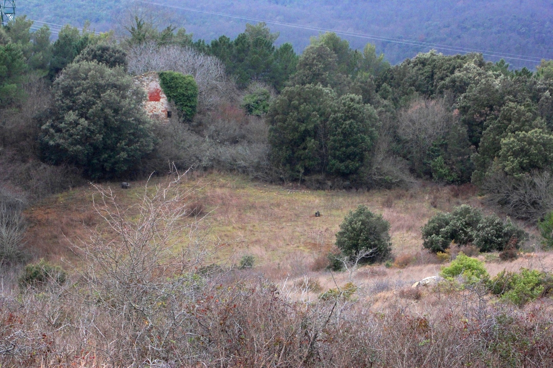
This is an easy ring-route with many opportunities and options that can lead you to discover all the forest types of Monterufoli and take you to an interesting area for wildlife watching. In the vicinity of the ruins of the Poggiovecchio farm you may, with the help of the quietness of the area and a little luck, spot ungulates such as fallow deer, roe deer and wild boar, as well as birds of prey.
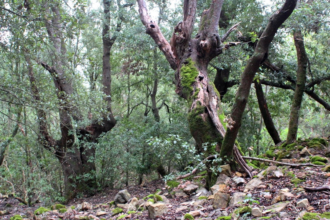
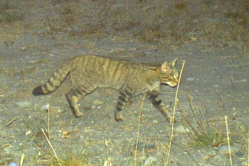
The presence of prey and the silence makes this area one of the favourite spots of elusive predators such as wolves and wildcats. Climbing to the head of the Vallon Cupo, a deep fissure that plunges into the Adio torrent below, with stretches of deciduous forest characterised above all by turkey oaks.
The air can sometimes smell of sulphur, because you are now on the edge of one of the most important geothermal areas in Europe. Some very long-lived holm oaks indicate the presence of the few remains of the small church of S. Ermete, together with strawberry trees, junipers and manna ashes.
The final part of the route, through pine forests and clearings, offers wide views and impressive mosaics of colours, especially in autumn, thanks to the numerous rowan trees, wild service trees and maples.