Difficulty level
T
Hiking
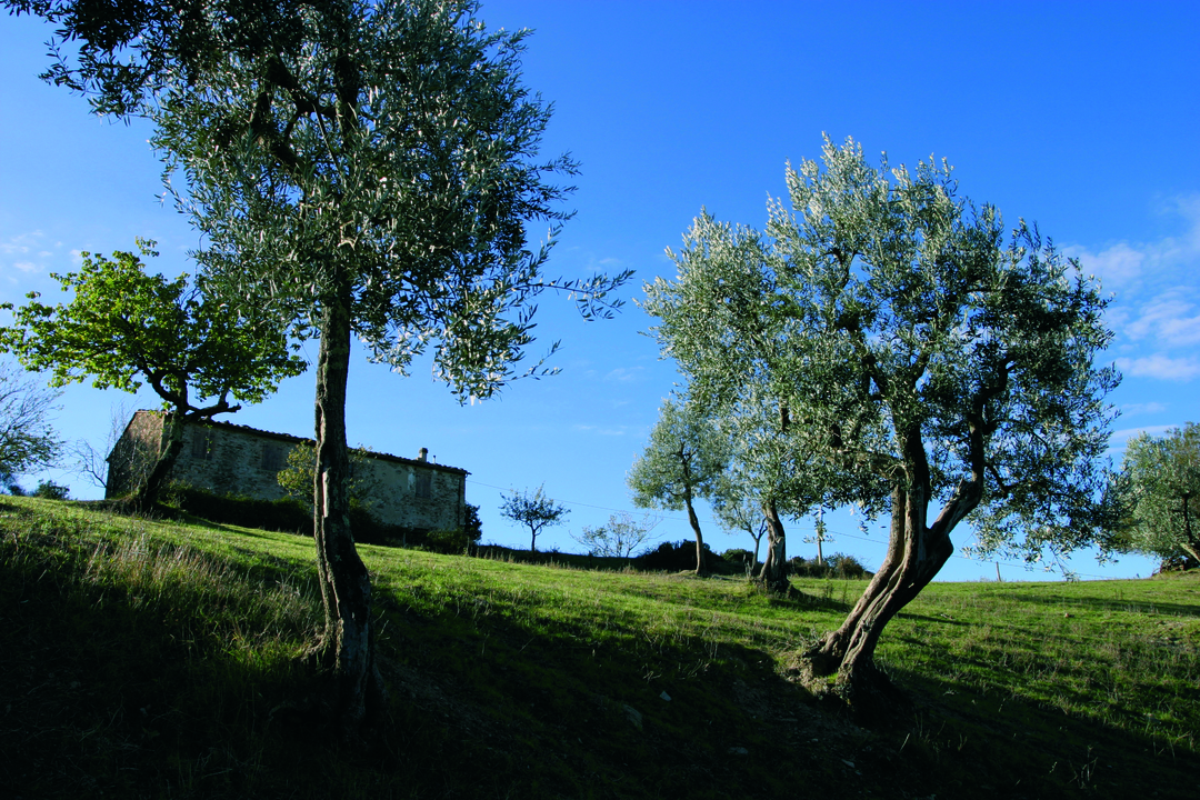
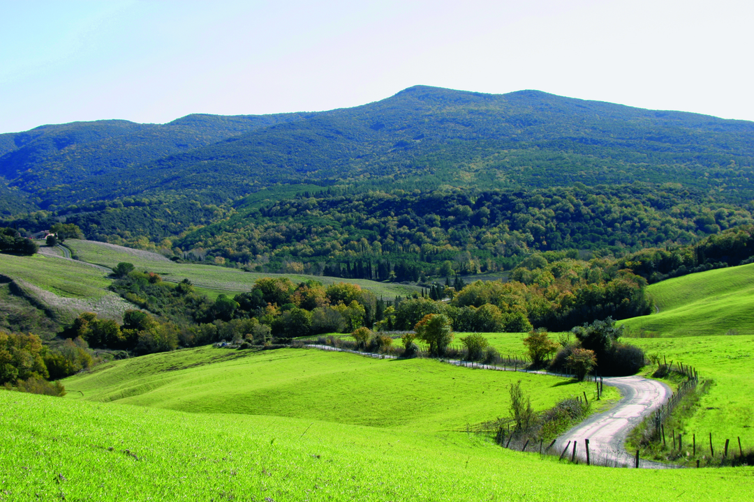
The northern slopes of Monte Soldano
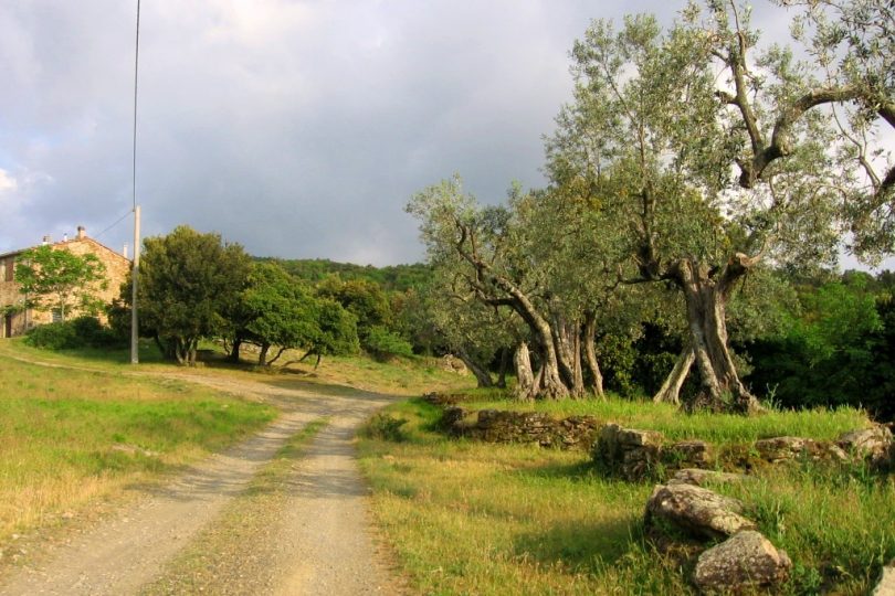
The starting point of the trail can be reached from the village of Mazzolla, along the dirt road that leads to the Berignone Reserve, at Il Pino village. The starting point of the trail is about 850 m on foot from the car park near the edge of the Reserve.
This route is part of the “7 Sentieri Natura delle Riserve Naturali” (7 Nature Trails of the Nature Reserves) and it also features a guidebook with marked and numbered waypoints along the way.
We advise you to refrain from taking the part of the route that requires you to wade through the Fosci stream after heavy rain days. Between the old farms, you can discover the tracks of mammals on the north-western slopes of Monte Soldano.
The easy-to-travel path takes visitor through the numerous remnants of agricultural and forestry activities. The farms, rich in history and charm, the small agricultural areas immersed in the wood, allows you to walk along the ancient mule tracks, surrounded by pines and cypresses, and to watch the monumental olive trees of Podere Caprareccia, with their particular dry stone walls: the visitor thus gets to know a forest landscape “built” by the secular presence of man.
The Podere il Pino area, with its vast reforestations and the fluvial ecosystem of the Fosci stream are perfect spotting areas for ungulates. From Podere Caprareccia, the arrival point of the nature path, a quick connection takes you to the “La Venella” educational nature trail, where you can visit an interesting reconstruction of a charcoal pile and a charcoal burner’s hut.