Difficulty level
E
Hiking
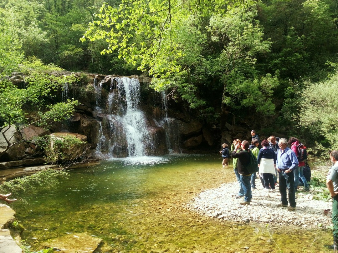
The Caselli waterfall and the Renzano forest
Il punto di partenza del percorso è segnalato all’ingresso della Riserva ed è raggiungibile con sentiero (circa 1,7 km) o strada sterrata (circa 2,5 km) aperta al traffico solo in alcuni fine settimana, per massimo 25 auto.
Subito dopo piogge intense, sconsigliato il tratto di sentiero che guada il torrente Sterza.
IMPORTANT NOTICE OF 24/10/2023: the path that leads to the waterfall of toll booths, in the final part of the steps, is blocked by trees and trunks, certainly brought by Saturday’s flood, making the passage difficult and dangerous for the visitors
LA CASCATA PUO’ ESSERE RAGGIUNTA ANCHE SENZA PERCORRERE TUTTO L’ITINERARIO; DALL’INGRESSO DELLA RISERVA SEGUIRE LA STRADA STERRATA TENENDO LA SINISTRA ALL’UNICO INCROCIO PRESENTE. La passeggiata è lunga km………
Il percorso parte dal laghetto di Caselli, unica vera area umida della Riserva, dal ruolo ecologico strategico per la fauna.
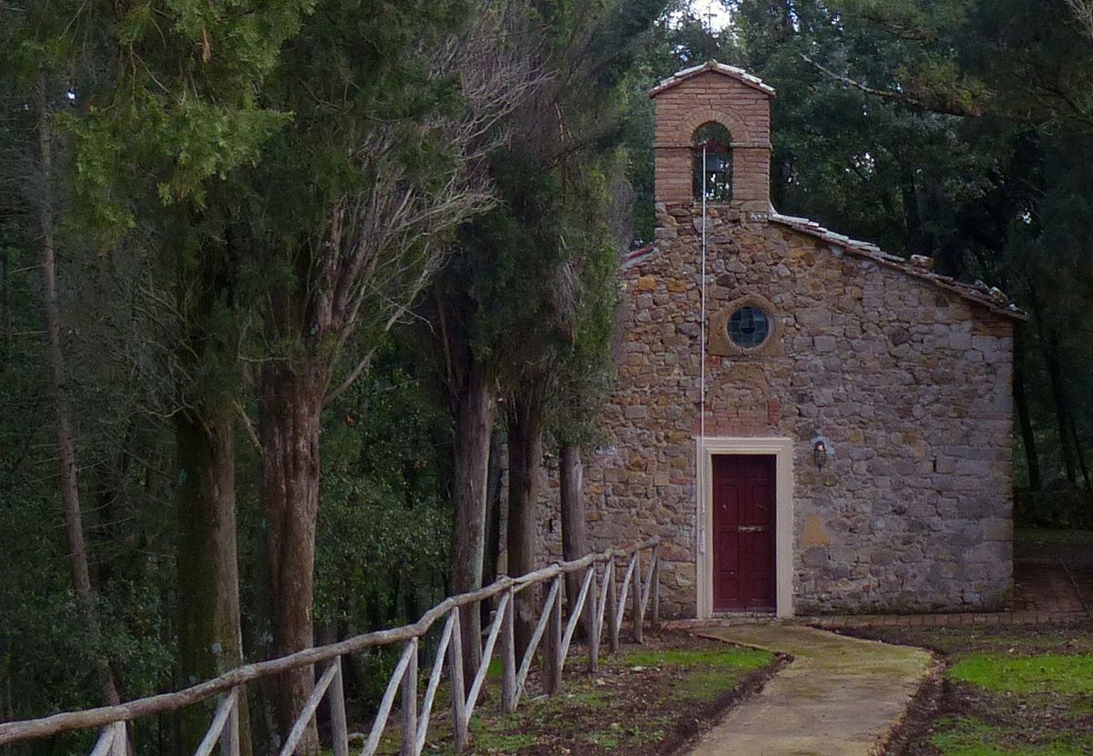
Si giunge alla bella Fattoria di Caselli, posta al centro della vasta tenuta dei Conti Della Gherardesca, che oggi ospita servizi per l’accoglienza e la fruizione sostenibile della Riserva. Dell’originaria struttura si conservano le scuderie, il castelletto e la piccola chiesa con cimitero annesso.
Scendendo rapidamente fino alla strada sterrata della Riserva, si oltrepassa il ponticello sul torrente Rivivo e, avvolti in una rigogliosa cerreta di fondovalle, si costeggia lo Sterza, fin dove il fragore delle sue acque, nei periodi piovosi, ci segnala la presenza di una bellissima cascata, raggiungibile con una breve diramazione.
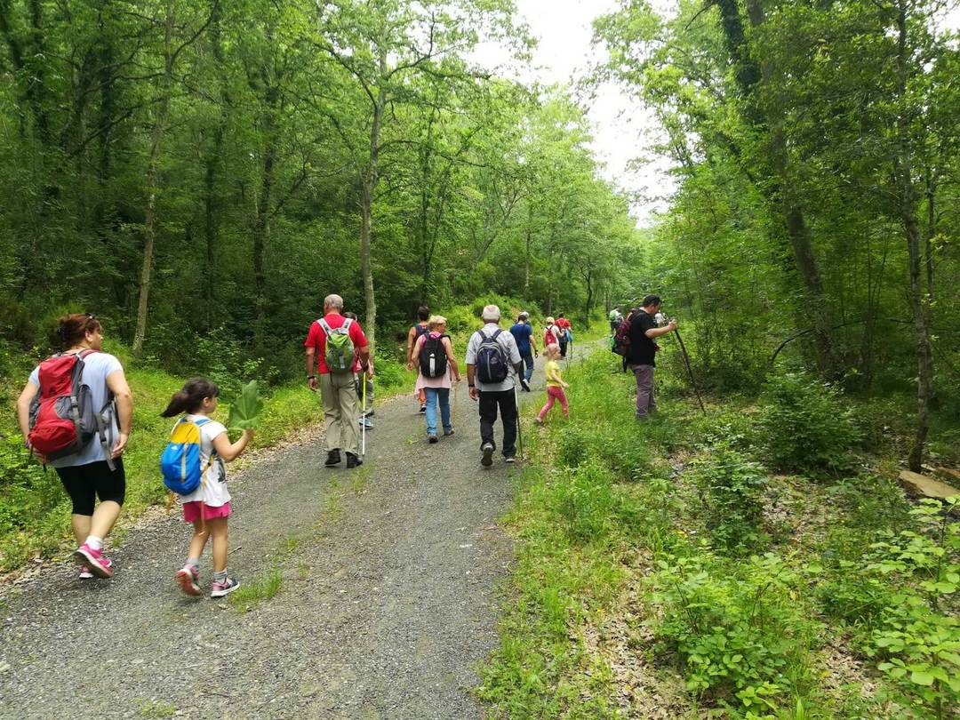
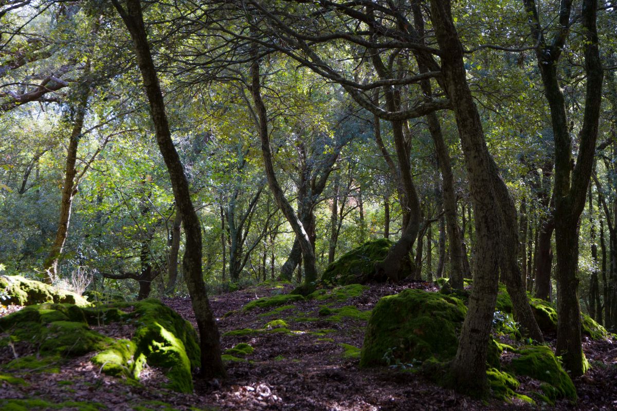
Lasciato il torrente, la strada forestale risale il bosco di Renzano, foresta non comune in questo clima dove, accanto al cerro, crescono frassino ossifillo, melo e olmo campestre, favoriti da suoli umidi e ricchi d’acqua risorgiva.
Un sentiero in discesa permette poi di ritornare fino al Torrente Sterza, da guadare nei pressi della confluenza con il Rivivo, per poi lasciarsi accompagnare da una bella cerreta nel prendere la via del ritorno.