Difficulty level
E
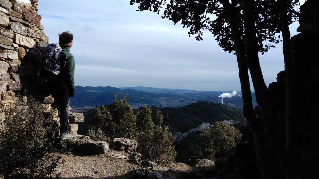
Hiking
The Abbey and baths of San Michele alle Formiche
The route consists of two parts. The first is a short linear route that will take you to a spectacular viewpoint over the waterfall and the Radicagnoli gorge. From the end of this path you shall walk back to the beginning and start the second part, a ring route that completes the whole itinerary.
ALERT (until 31th May 2024): The company S.M.A.F. holder of the “San Michele alle Formiche” research permit informs that the drilling site has been opened near the ruins of the S. Michele spa and the Radicagnoli stream. This involves the temporary interruption of the San Michele trekking route up to May 10th, for safety reasons, while the route for visiting the bell well remains completely accessible..
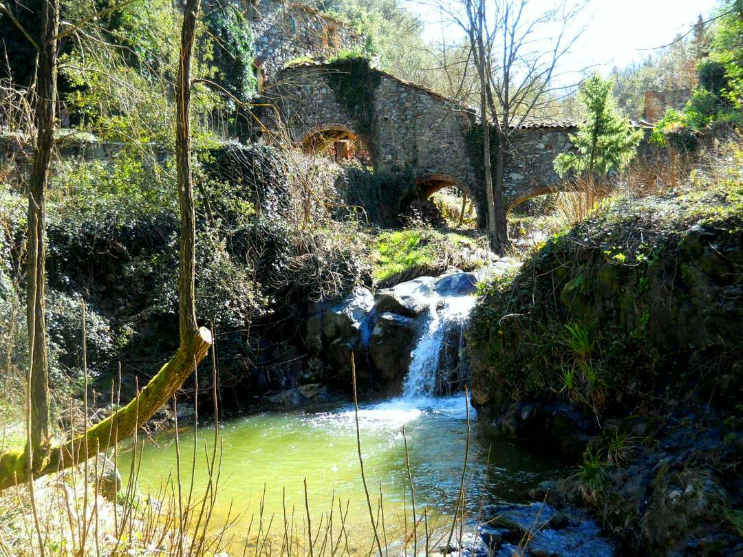
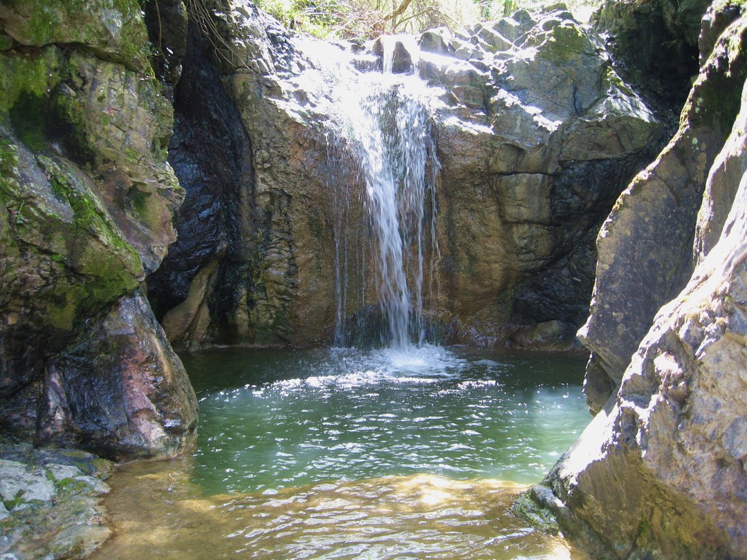
Along the deep, narrow valley of the Radicagnoli stream, erosion has carved gorges, waterfalls and deep pools into the green rocks, the same ophiolites often found in the nearby Valle del Diavolo and throughout the valley of the river Cecina, evidence of the complex geological origin of the area. These places were already famous in ancient times due to the presence of numerous hydrothermal phenomena linked to geothermal energy and being home to thermal baths.
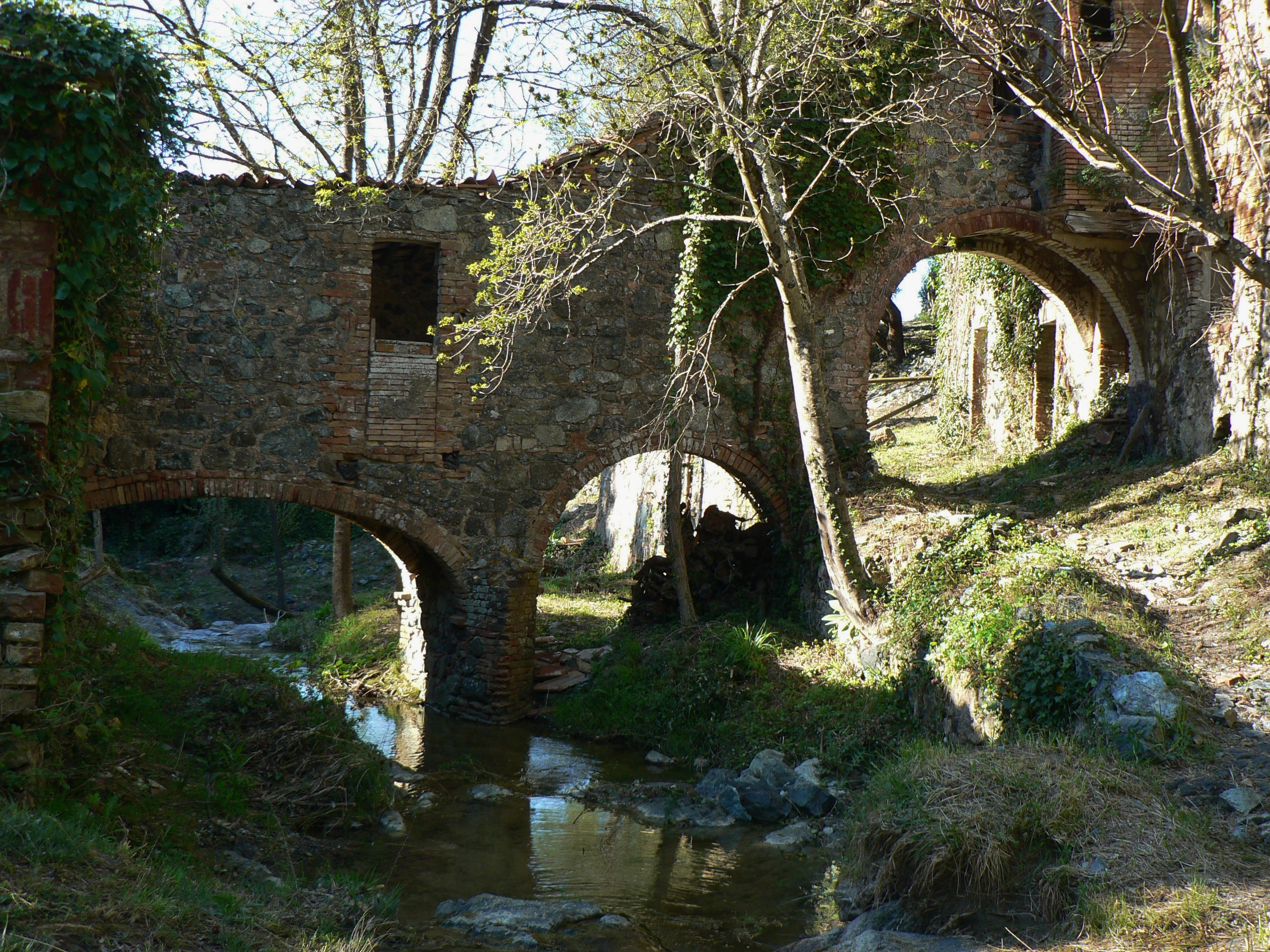
The first section of the route offers spectacular views of the torrent, with unexpected glimpses of the mighty waterfalls that follow one another along the rocky riverbed. Immediately after a loop, you can follow the ancient paths of the retrace the historic paths of the hillock, known as Spartacciano. At the bottom of the valley you can see the ruins of the thermal baths of San Michele, evidence of which dates back to 1266. The existing building, equipped with the typical covered bridge, connected the hotel with the small spa building on the other side of the stream.
The spa, mentioned among the sites used for the treatment of the sick since 1512, was equipped with various baths and service rooms, which are still visible. At the top of the hill are the ruins of the ancient hermitage of San Michele alle formiche (14th century), run for centuries by the Celestine monks which is at the same time the site of amazing legends and also a superb viewing spot.