Difficulty level
E
Hiking
Nature and history between Rocca Sillana and Valle del Pavone
The Rocca can, of course, also be reached by a simple walk of about 800 metres from the car park below.
Only the stretch of path that descends from the Rocca towards the Valle del Pavone requires a bit of skill and for this reason the ring is not regarded as a tourist route but as a hiking route.
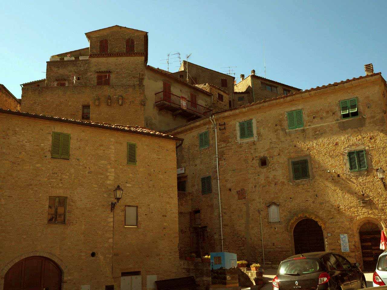
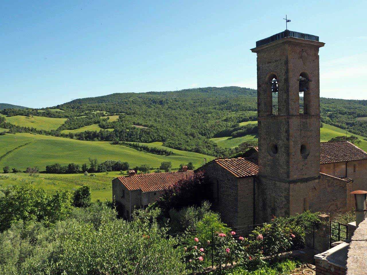
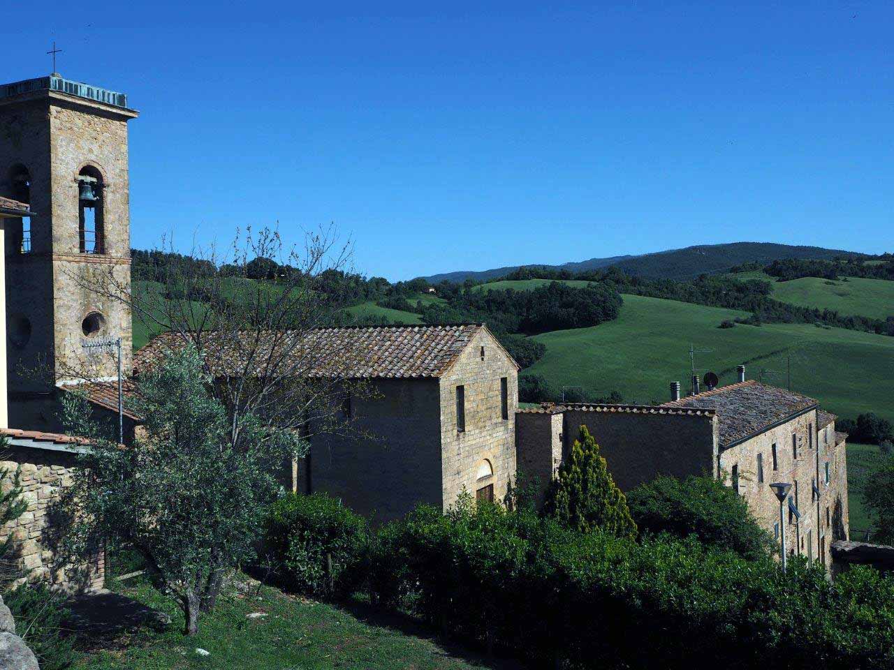
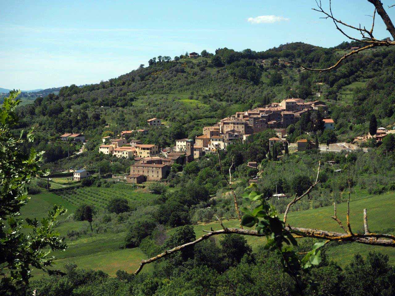
It starts from the small village of San Dalmazio where you can discover an area that has been inhabited for thousands of years, rich in memories and well evident traces: note the ruins of one of the oldest “mother churches” in Tuscany, the Pieve di San Giovanni Battista, traces of the road network of the past, farms and springs.
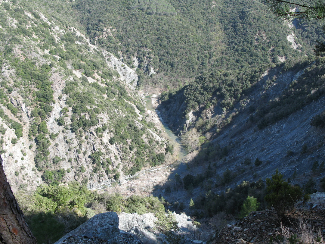
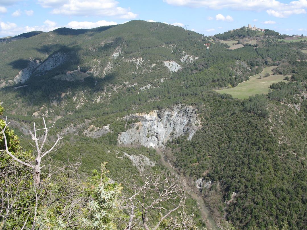
At every step you can see the remains of man’s hard work, not only in the fields but also in the mines (just take a look from the many spectacular viewpoints at the bottom of the valley of the Pavone).
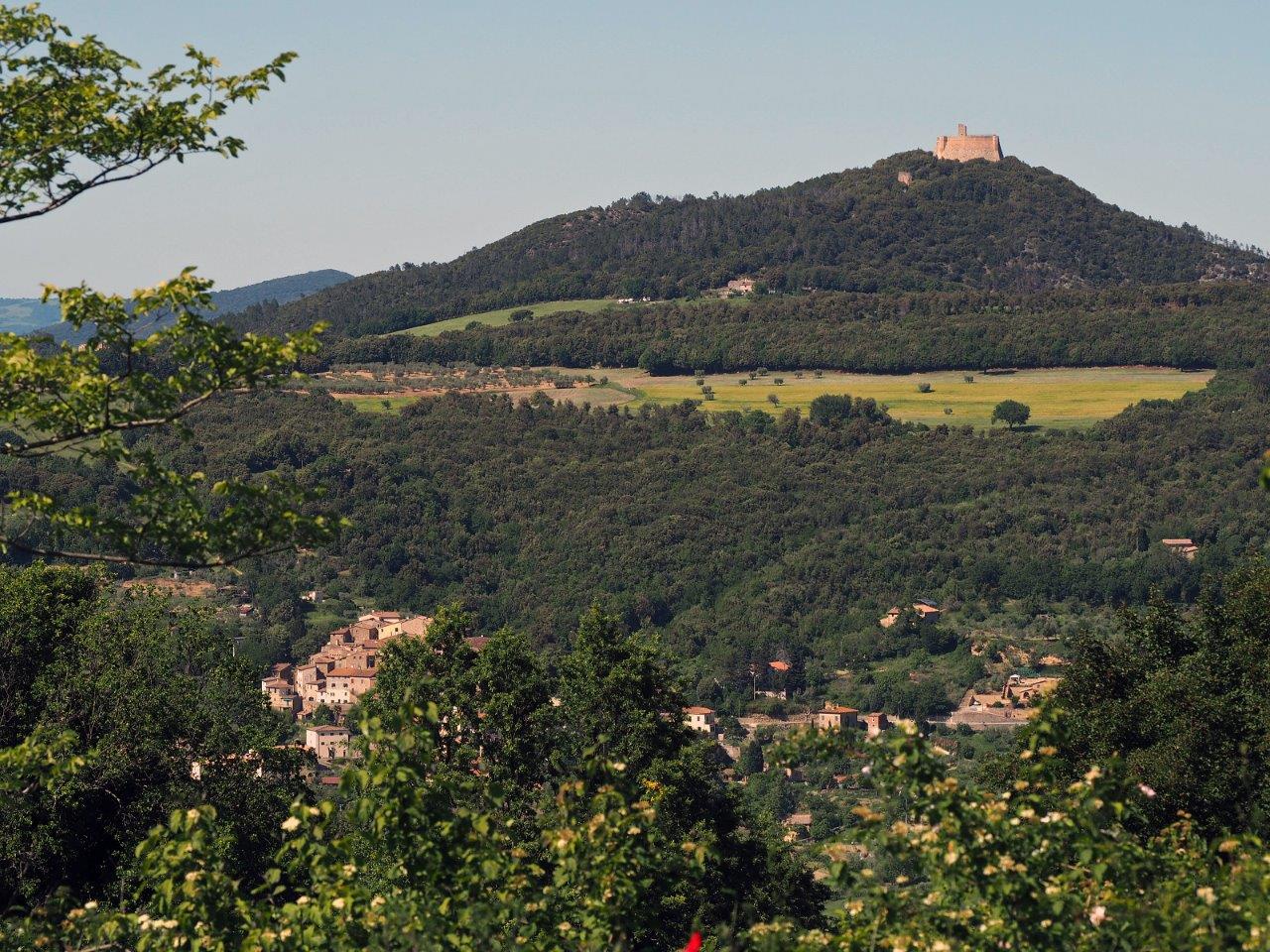
Above it all, solitary and imposing, towers the Rocca Sillana, an important Medicean fortress of the Renaissance period built on the former site of earlier, more ancient structures and that sometimes seems to be just waiting for visitors to come. As you climb the mountain, you will not only discover the history of this place, but you will also be rewarded with the view of one of the most majestic panoramas Tuscany has to offer: in the distance the sea, the Apennines, the Apuan Alps, Chianti, Amiata; but also the geothermal area, Volterra and the Monterufoli and Berignone Nature Reserves. A route capable of offering not just a hiking trip but rather an experience that offers a powerful key to understanding the territory and its evolution.