Difficulty level
T
Hiking
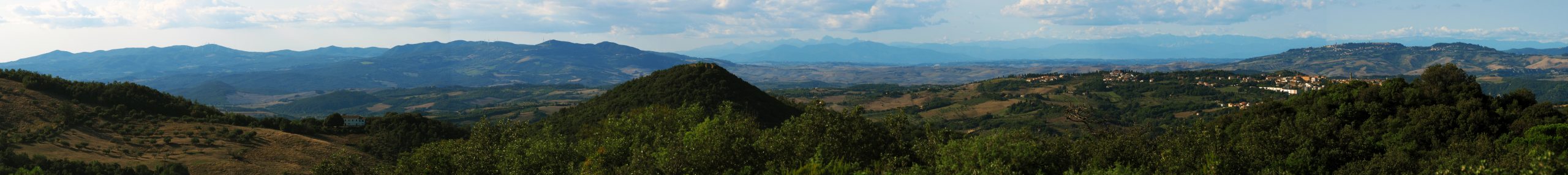
Croce del Masso and Poggio alla Marruca
A short but suggestive ring-route connecting the picnic area at “Croce del Masso” with the panoramic peak of “Poggio della Marruca”.
All of the walk is made on green rocks, the ophiolites: the path crosses short stretches of pine forest which, as you go upwards, give way to Mediterranean scrub. The hill is characterised by the presence of a peculiar flora, which adapted to the difficult conditions of survival in serpentine soils, rich in phytotoxic heavy metals and poor in nutrients.
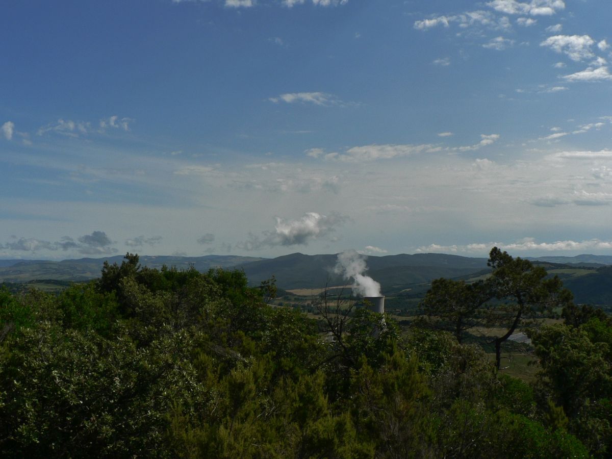
Among the species present, one of the most outstanding is the rare Stipa etrusca which, together with other more colourful species, forms a veritable botanical garden in spring. From the top of the hill (489 m), your eyes will be treated to the superb panorama view of the famous “Valle del Diavolo” (Devil’s Valley), the area where the earliest geothermal and chemical industrial developed, but at the same time a place that brings to the mind Dante’s Inferno due to the many hydrothermal phenomena (which have been there since the ancient times), such as the famous boraciferous lakes. Looking eastwards you may see Rocca Sillana and the Siena area, looking northwards you will see Volterra and the Apennines and looking westwards you will see the immense Monterufoli forest.