Difficulty level
E
Hiking
The Corno al Bufalo ring route
DOWNLOAD THE PDF OF THE NATURE PATH
The route is part of the “7 Sentieri Natura delle Riserve Naturali” (7 Nature Trails of the Nature Reserves) and it also features a guidebook with marked and numbered waypoints along the way.
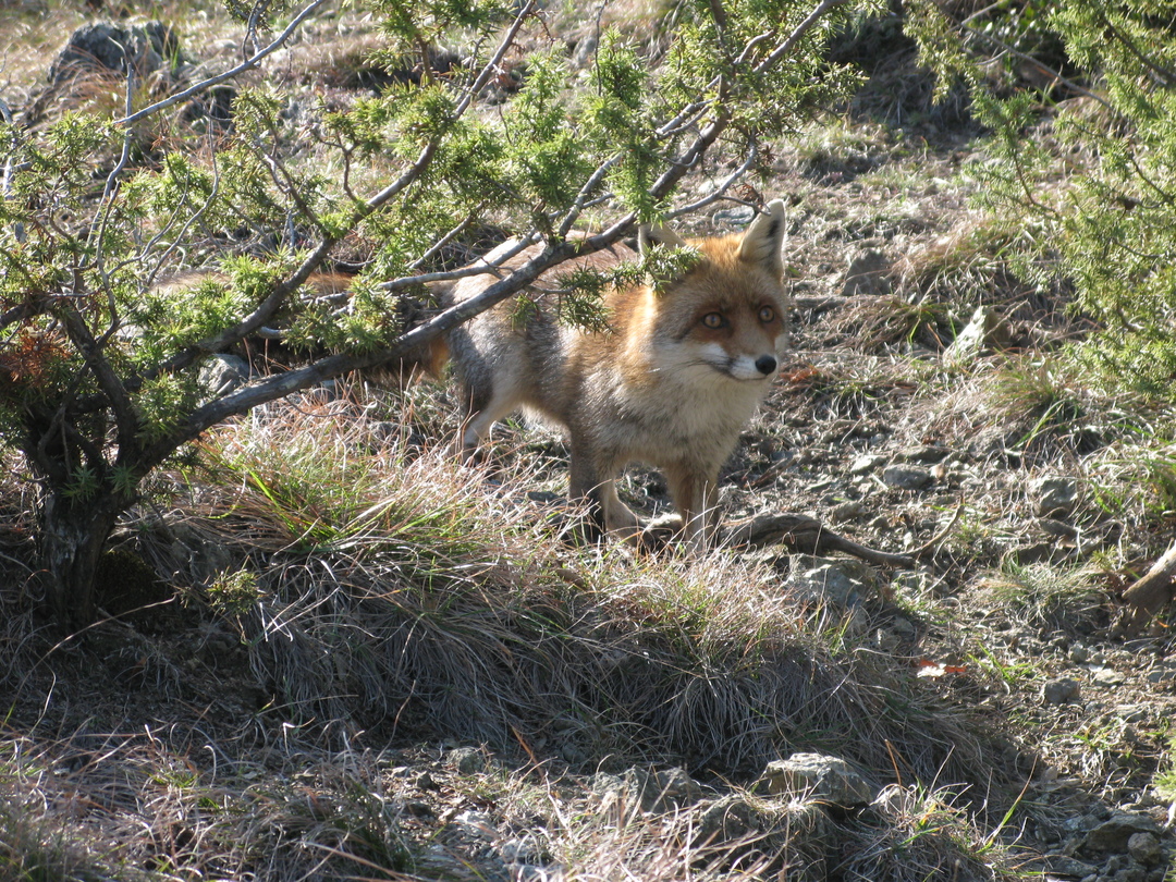
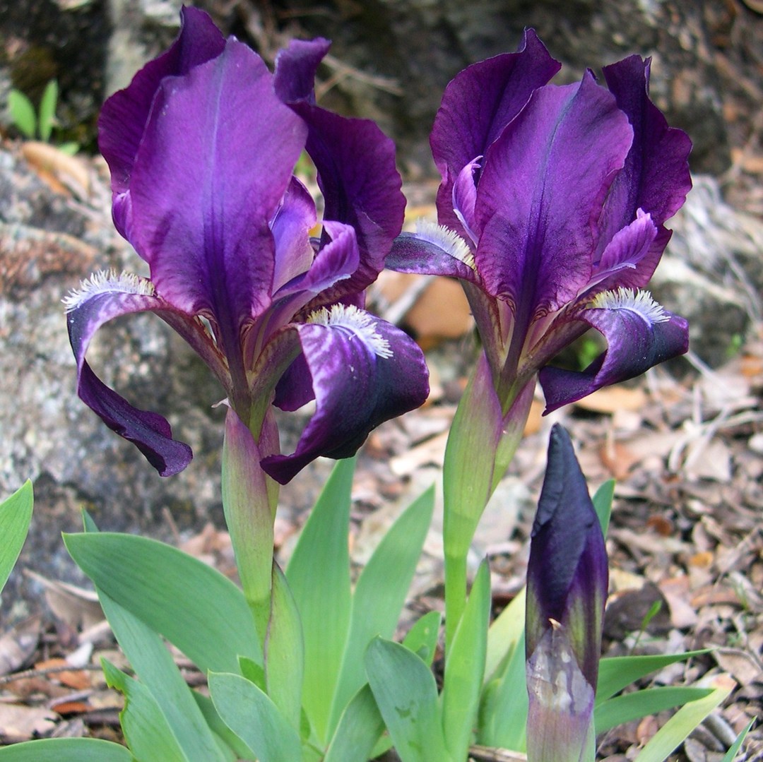
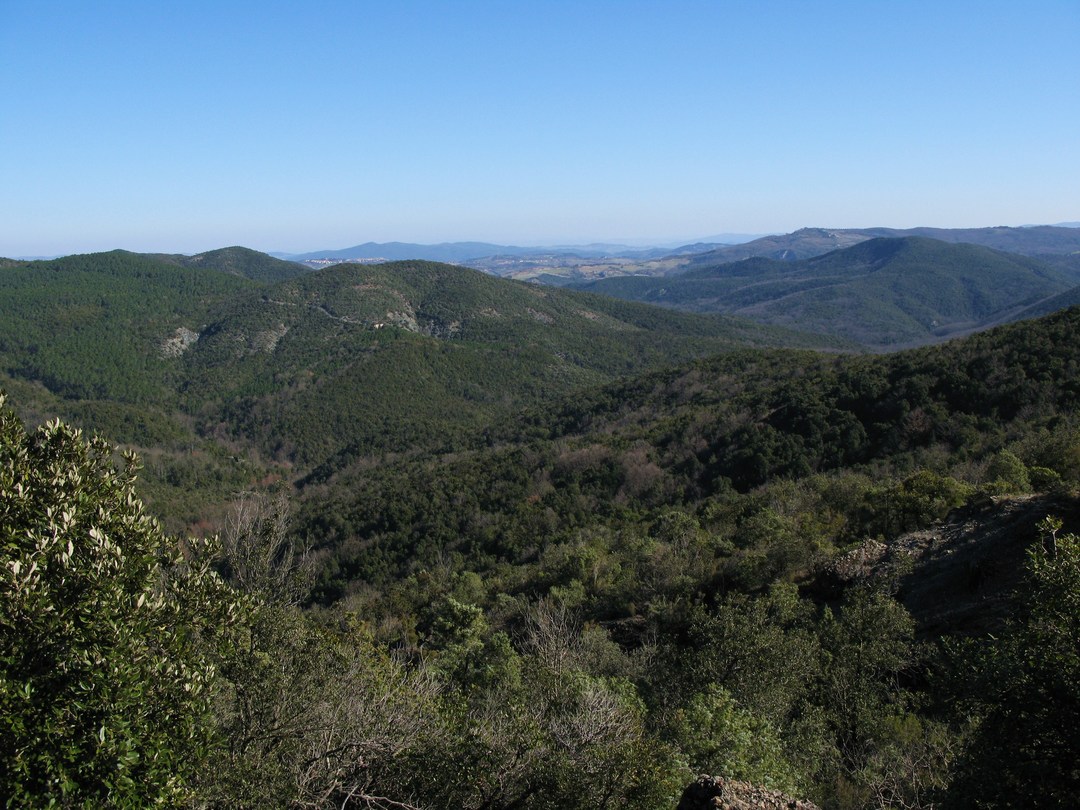
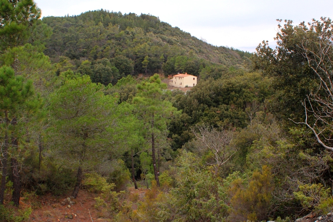
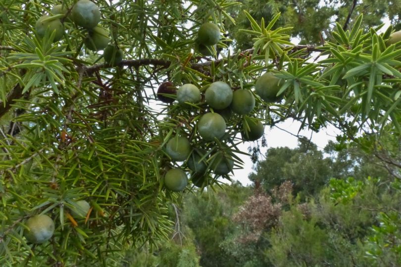
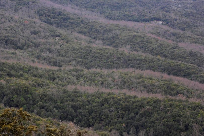
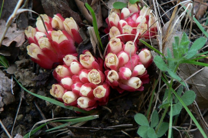
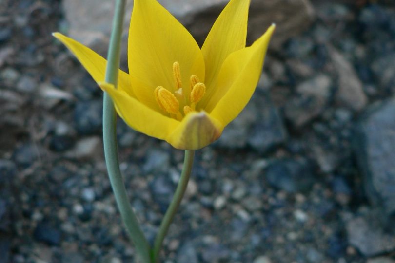
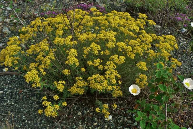
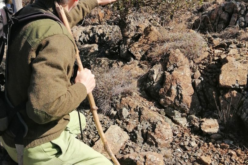
From the legendary Villa di Monterufoli, known as the “villa of the hundred rooms”, the route winds around the rugged and scenic ophiolite rocks of Corno al Bufalo, down to the upper reaches of the Trossa stream, cloaked in vegetation that surprises at every step. Leaving the artificial pine and holm-oak forests around the Villa, you can then plunge into the landscape of serpentine rocks, a fragment of oceanic crust from 180 million years ago. The Mediterranean scrub is broken up by garrigue, low and discontinuous vegetation with rock outcrops, an incredible balance between hostile soil and plants that have evolved and adapted here over millions of years, creating a floral mosaic of high significance at European level. We walk among bonsai plants of prickly juniper and phillyrea, creeping plants, cushion bushes such as Euphorbia spinosa, endemic flora of the serpentines such as Alyssum Bertolonii, rare plants and spring blooms that will take the mind back to the mountains. Going around the hillock on the northern slope, the vegetation gradually changes, giving way to holm oak woods and then to cool deciduous oaks with many sessile oak trees and other species that are unusual for these altitudes, such as mountain ash, but also yew and laurel near small wetlands.