Difficulty level
TC/BC
Bicycle - Gravel
Bicycle - MTB
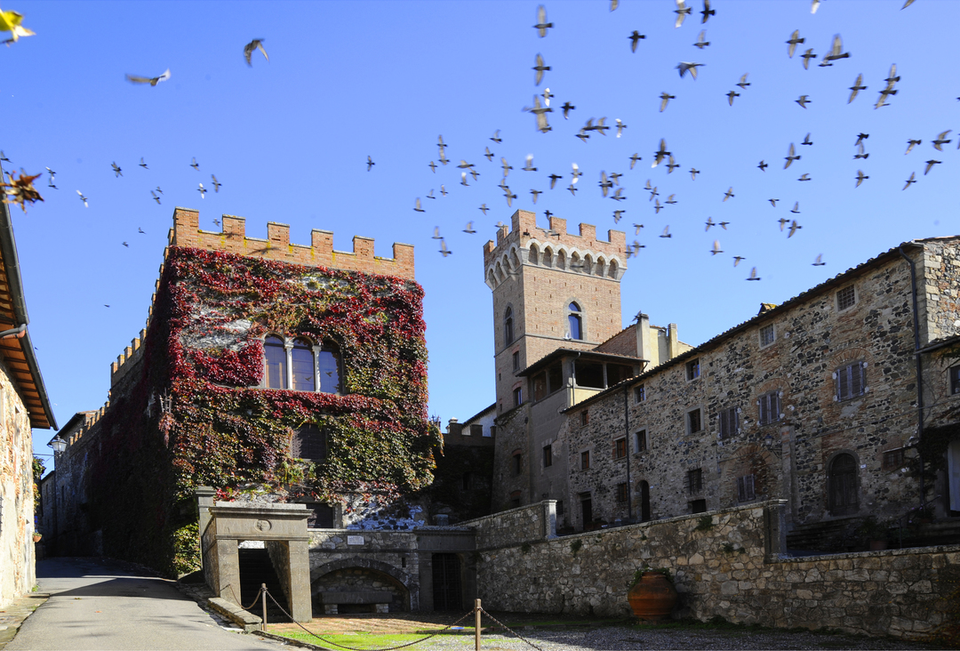
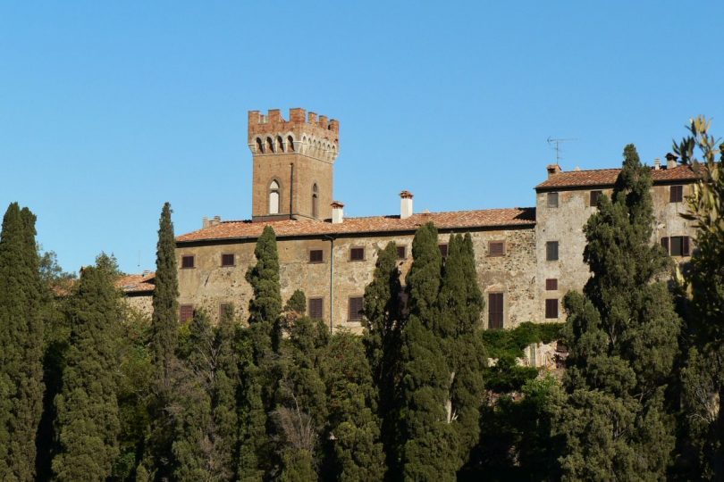
Querceto Castle and Monterufoli Forest
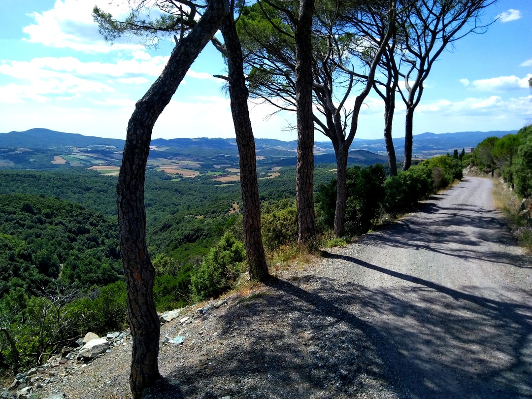
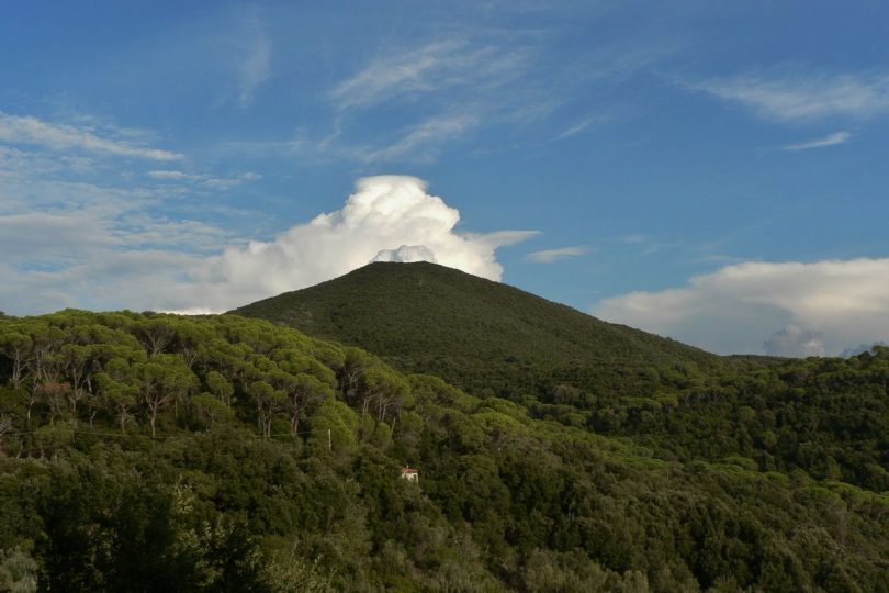
The departure is from Querceto, one of the most evocative and vital villages in the Cecina Valley. The dirt road, framed by rows of stone pines and cypresses, climbs gradually, affording enchanting views of the stupendous “pyramid” of Monte Aneo.
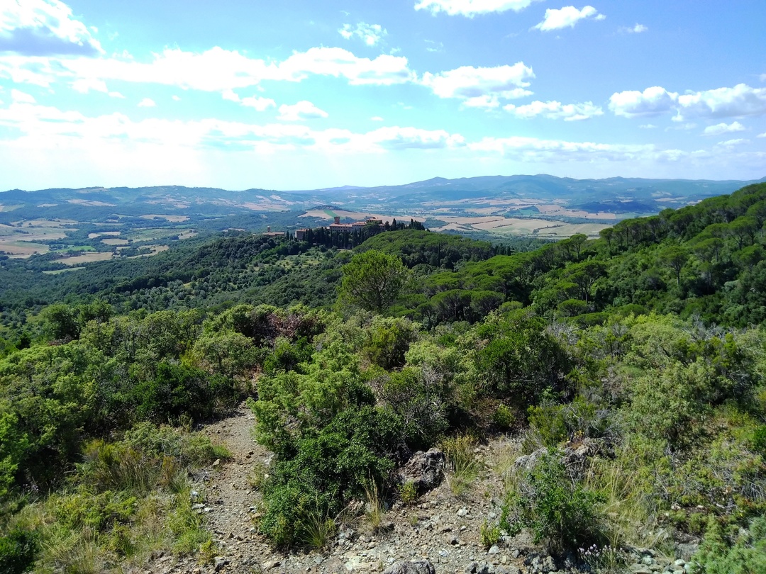
After the Bandita, the Mediterranean vegetation alternates with clearings as far as the junction at Poggio all’Abetina, from where we continue downhill towards the south, surrounded by endless views over most of the Monterufoli forest, the Adio valley and the villages of Micciano and Libbiano, before entering the Nature Reserve proper.
We pass through cool oak woods with a high biodiversity, until we reach the renovated old farmhouse of Rogheta, full of fascinating memories and set in a superb position: the view reaches as far as the sea and the islands of the Tuscan Archipelago.
We now descend towards the Sterza valley, where the woodland gives way to farms and fields. From the valley floor, we quickly ascend towards Querceto, travelling through a placid, well-kept agricultural and pastoral landscape, with an ancient charm and a wealth of panoramic views.