Difficulty level
E
Zu Fuß
Toller Wanderring der Rio-Schlucht
The starting point of the route can be reached from the village of Mazzolla, along the dirt road that leads to the Berignone Reserve, in Capannone. From the car park of the Reserve, the start of the trail is a 500 m walk away.
We do not recommend taking this route immediately after a heavy rain because of the ford over the ditch at the Rio river.
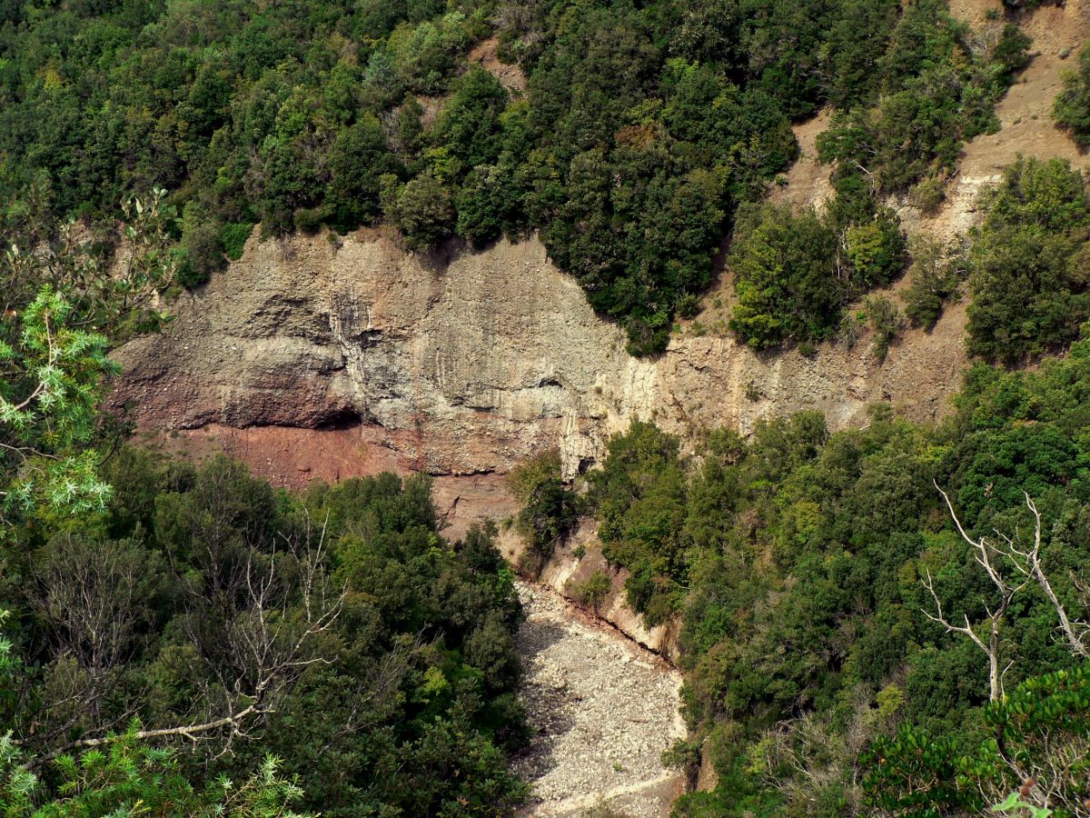
This route will lead you to discover the wildest area of the Berignone Forest. It begins at the beautiful Capannone rest area, from which the path immediately enters the holm oak wood along the Botro al Melo gorge, where you will see many waterfalls and small potholes.
Through age-old woods, you will then reach Pietruccolaie, a charming panoramic point overlooking the Colline Metallifere (Metal-bearing Hills), from which you can easily understand how sparsely inhabited the entire area is. In a short time, you will reach a path through the forest that climbs up to the Venella spring and to a fir-tree grove, planted around 1930 on the northern slope of Monte Soldano.
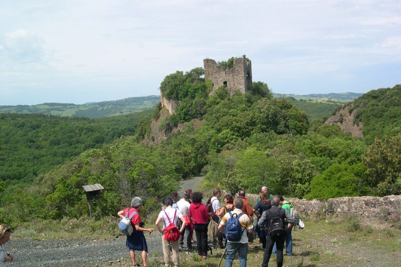
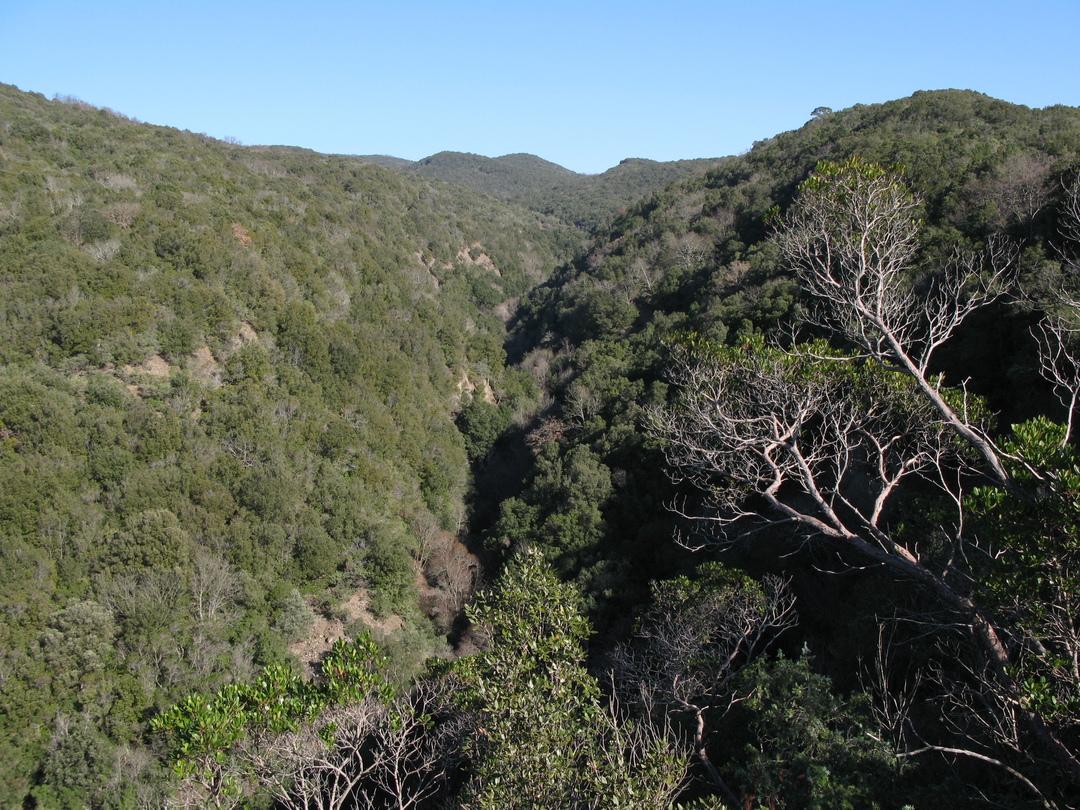
The return journey will take you us down into the spectacular valley of Botro al Rio, a deep gorge carved by the millennial work of water: the holm oaks share the hegemony with tall shrubs and it is quite easy to spot fallow deer, wild boar and, with a little luck, even wolves. Once back on the ridge, the walk will lead you to the ruins of the Castello dei Vescovi, first founded in 896 and perched on a rocky spur. From here you may enjoy not only a breathtaking view, but also watch the mighty short-toed eagle, also called the eagle of serpents soar through the sky in large circular movement.
The final leg of the path threads along the Sellate Torrent, surrounded by the embrace of the deciduous broadleaf woods, dominated by turkey oaks and hygrophilous species such as willows and poplars.