Zu Fuß
Open golazze und das Rivivo-Tal
Fully accessible route with little or no signs. The starting point is indicated at the entrance to the reserve and and can be reached by footpath (approx. 1.7 km) or dirt road (approx. 2.5 km) open to traffic only on certain weekends, and for a maximum of 20 cars.
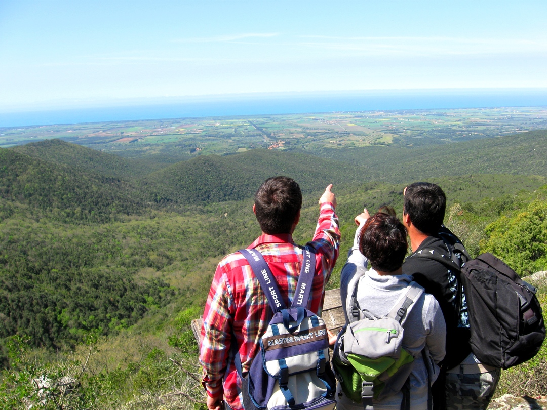
The route starts from the Caselli pond, a wetland vital for wildlife, through endless thickets and reaches some of the wildest places in the Reserve in the central part, with stunning views of the inland area and of the coast.
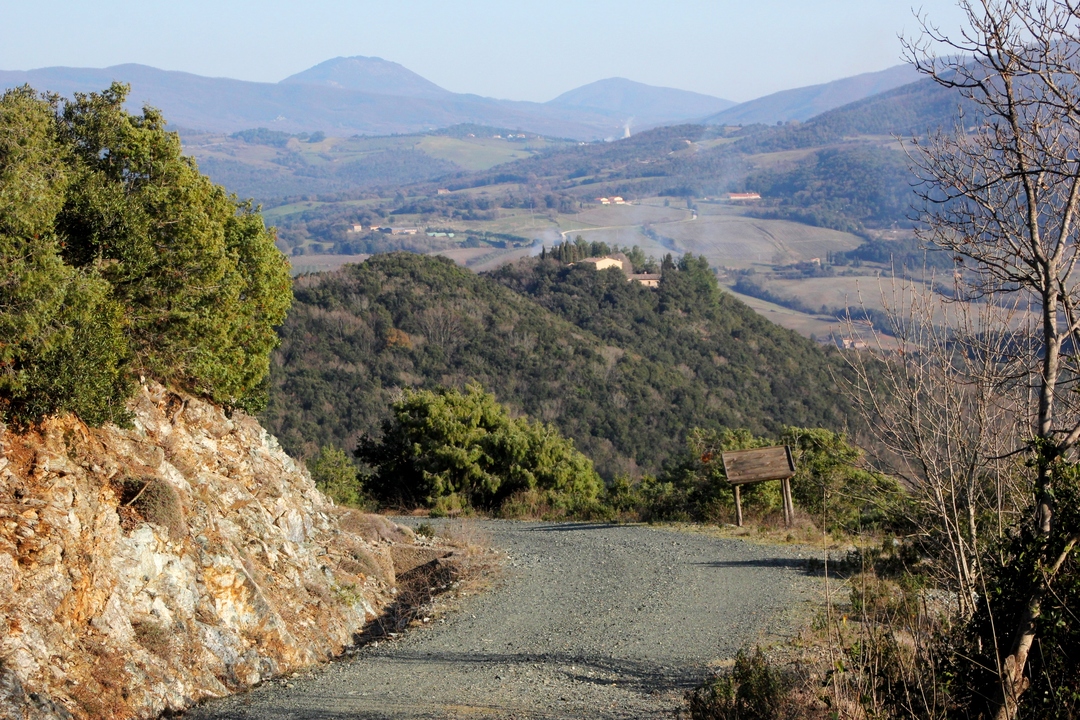
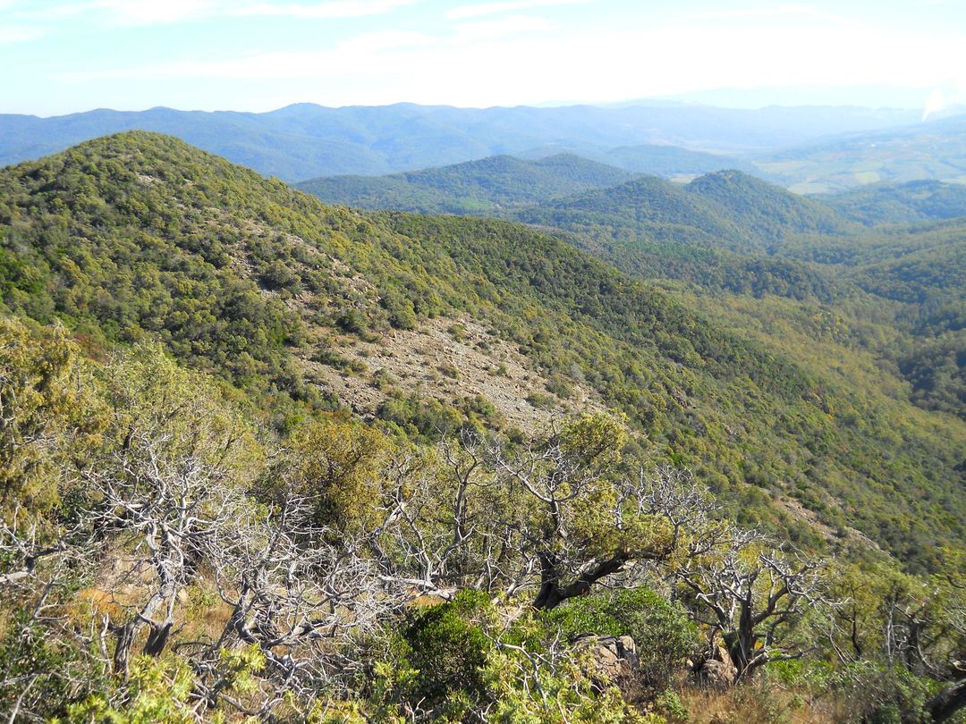
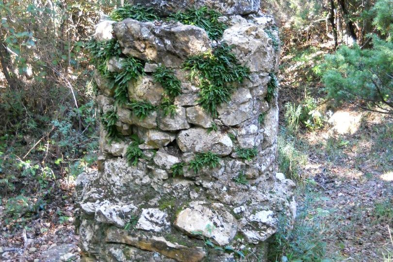
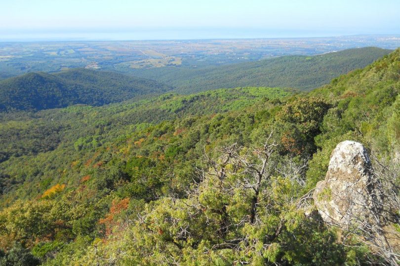
Leaving the dirt road near an old serpentine quarry, the path, mostly on rock and stone, climbs up to Poggio Donato, with its famous springtime garrigue blossoms, and then plunges halfway up the Rivivo valley on the steep slopes of Poggio alle Tegole and Poggio Casaloni, dominated by copses of prickly juniper clinging to the serpentine cliffs, with some monumental specimens and twisted forms shaped by the long hot season in this area; vegetation of high naturalistic value in an environment that is hostile even to plants. The panoramic section ends with the scrub closing in until it reaches the boundary stone known as “I Tre Confini” (The Three Boundaries), as it marks the border of three municipalities: Monteverdi Marittimo, Bibbona and Castagneto Carducci. The path climbs up the ridge shrouded in a beautiful mixed forest with patches of oak trees to an outcrop of serpentine rocks that offers one of the most spectacular views of the Nature Reserves of the Upper Val di Cecina and Tuscany: your gaze then descends from the endless woods of the Magona to Bolgheri, with its famous cypress avenue, meeting the peace of the splendour of the Tyrrhenian Sea, where you can see the islands of the Tuscan Archipelago, Elba, Capraia and Gorgona and, on clear days, the outline of Corsica.
Shortly after the overlook, the path rejoins the dirt road at the Magona boundary chain, which you can follow downhill on the way back to close the loop.