Difficulty level
TC/BC
Mit dem Fahrrad - MTB
Monteverdi zwischen Dörfern, Landschaft und Wäldern
A short part of the route, roughly between Km 9 and Km 10, requires a very high level of technical skill.
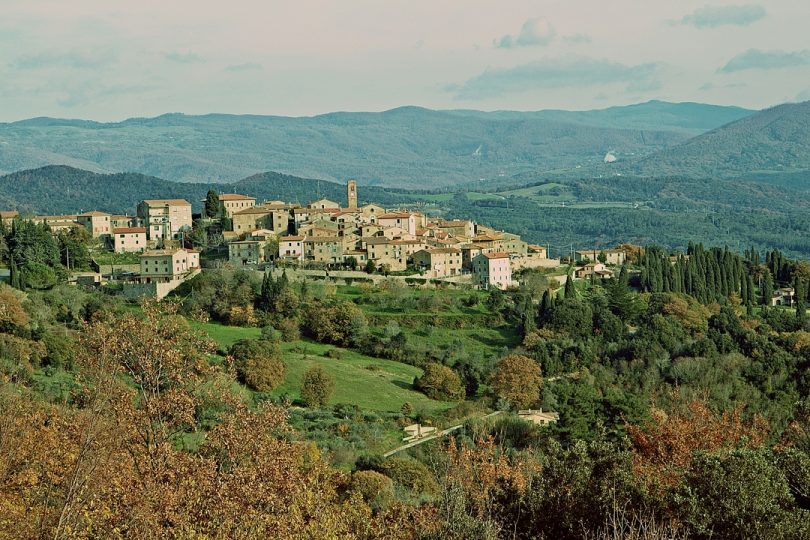
The route starts in Monteverdi Marittimo, a delightful beautiful medieval village with an amazing (panorama-wise) position. Here you can visit the Church of Sant’Andrea and the Chapel of the Santissimo Sacramento with the Black Christ a 14th-15th century wooden crucifix, as well as the new and very interesting archaeological museum. The whole village is crossed by the “rughe” (“creases”), a dense network of paths interspersed with small squares and vaults opening onto impressive views.
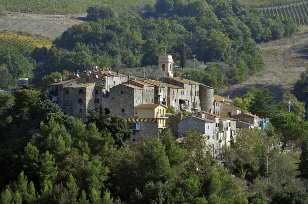
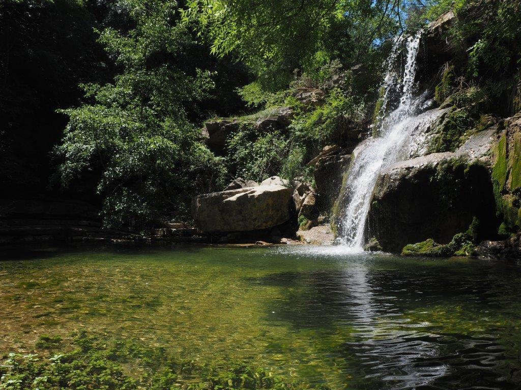
The route climbs up through the countryside and woods to Poggicciola which boasts an exceptional view over the sea, the Caselli forest and the nearby area. The next section descends down towards the valley, entering the Monterufoli-Caselli Nature Reserve and crossing the Sterza and Rivivo streams, allowing you to dive into the cool, damp environment typical of the gorges and enjoy the unique vegetation (black alder, southern ash) and the river fauna. A short diversion takes you to the suggestive Caselli waterfall, a quiet and truly magic spot amidst nature. This very particular forest of turkey oaks, featuring also a large amount of southern ash (Fraxinus oxycarpa) trees is considered one of the most interesting forests in Italy. After leaving the reserve you will head towards Canneto, an ancient defensive structure still surrounded by walls. This small, extraordinarily beautiful village has a peculiar elliptical shape and many of its numerous tower-houses and the lovely Pieve di San Lorenzo are still perfectly preserved.