Mit dem Fahrrad - Gravel
Mit dem Fahrrad - MTB
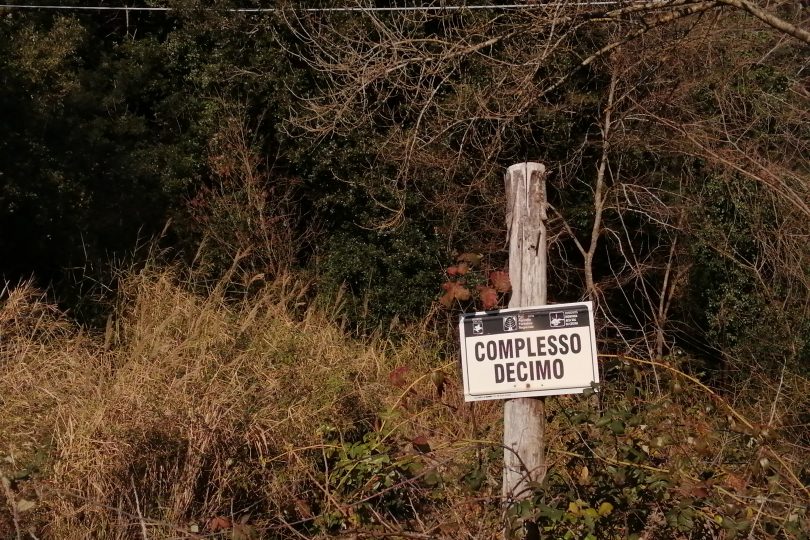
Montecatini V.C. und das Holz von Decimo
Die Sonderziele sind nur im außerstädtischen Bereich beschrieben
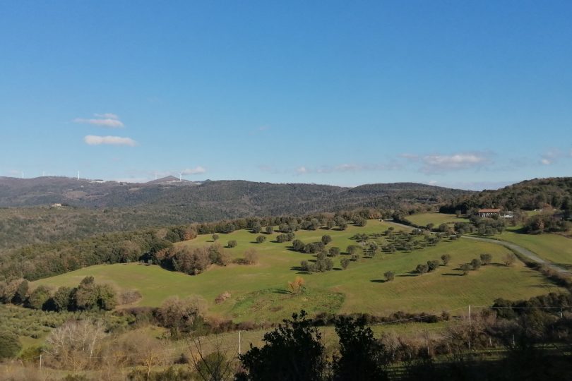
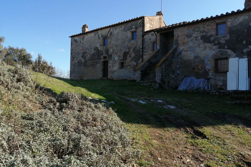
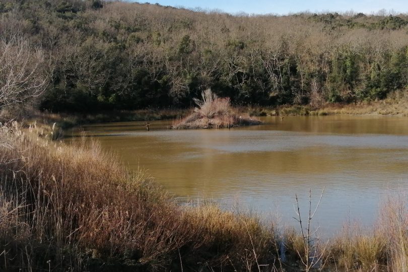
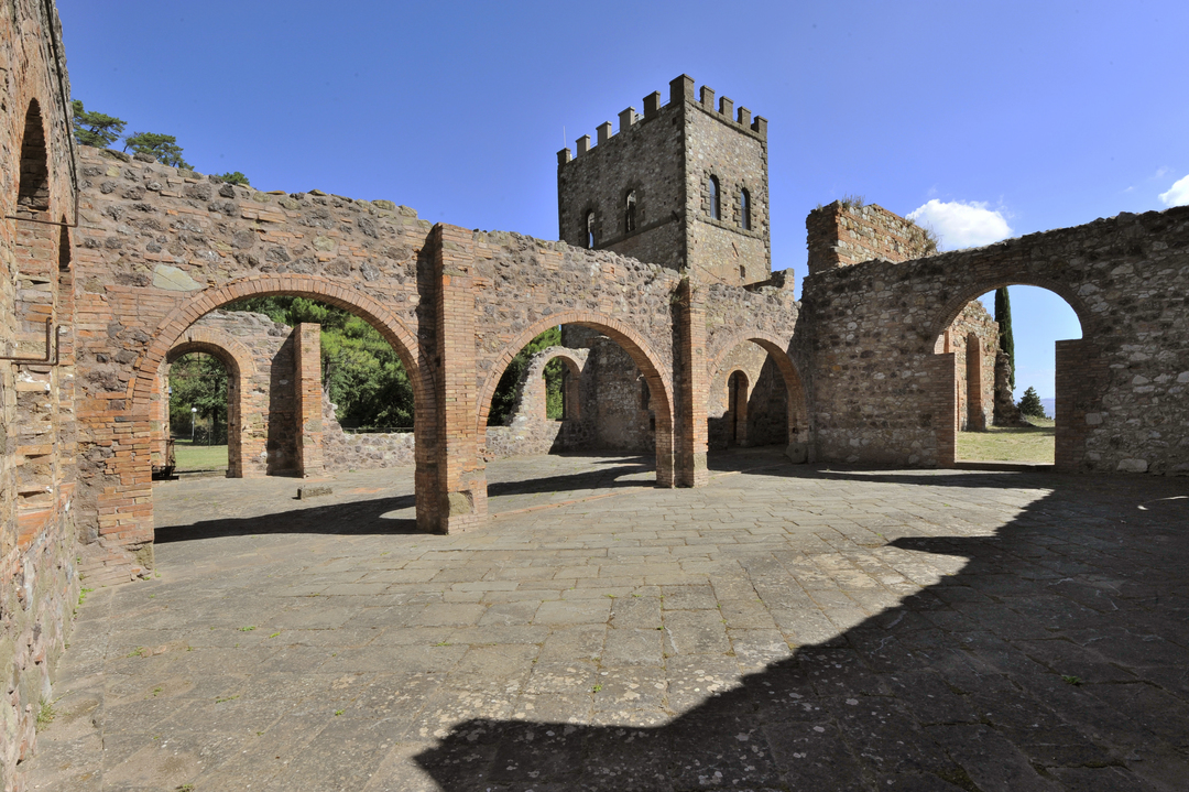
Montecatini V. C.’s territory is a large hilly area, with a thick wood and very few inhabitants and rural, historic and natural strikingly beautiful and well preserved features. From the Montecatini central square you can take an upwards path to the well known Miniera di Caporciano, which in the 19th century was the largest copper mine in Europe. Here you can go through the 19th century miners’ village and the S. Barbara church, the mine’s administration offices, the Villa dei Signori and the typical watchtower guarding the mine forecourt. Once past the forecourt and the entrance to the tunnel leading to the mine, you can take the Gello municipal road downhill and then turn onto a dirt road towards Lago di Scandri and the farm of the same name, which is also the last village before entering the forest.
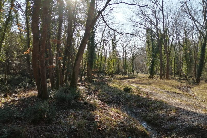
From there you will thread on a well kept dirt road down into the heart of the Decimo forest, which is now officially a public property but which has been a well known and precious source of timber, beginning in the middle ages and up to the days of the Saline di Volterra state-owned saltwork.
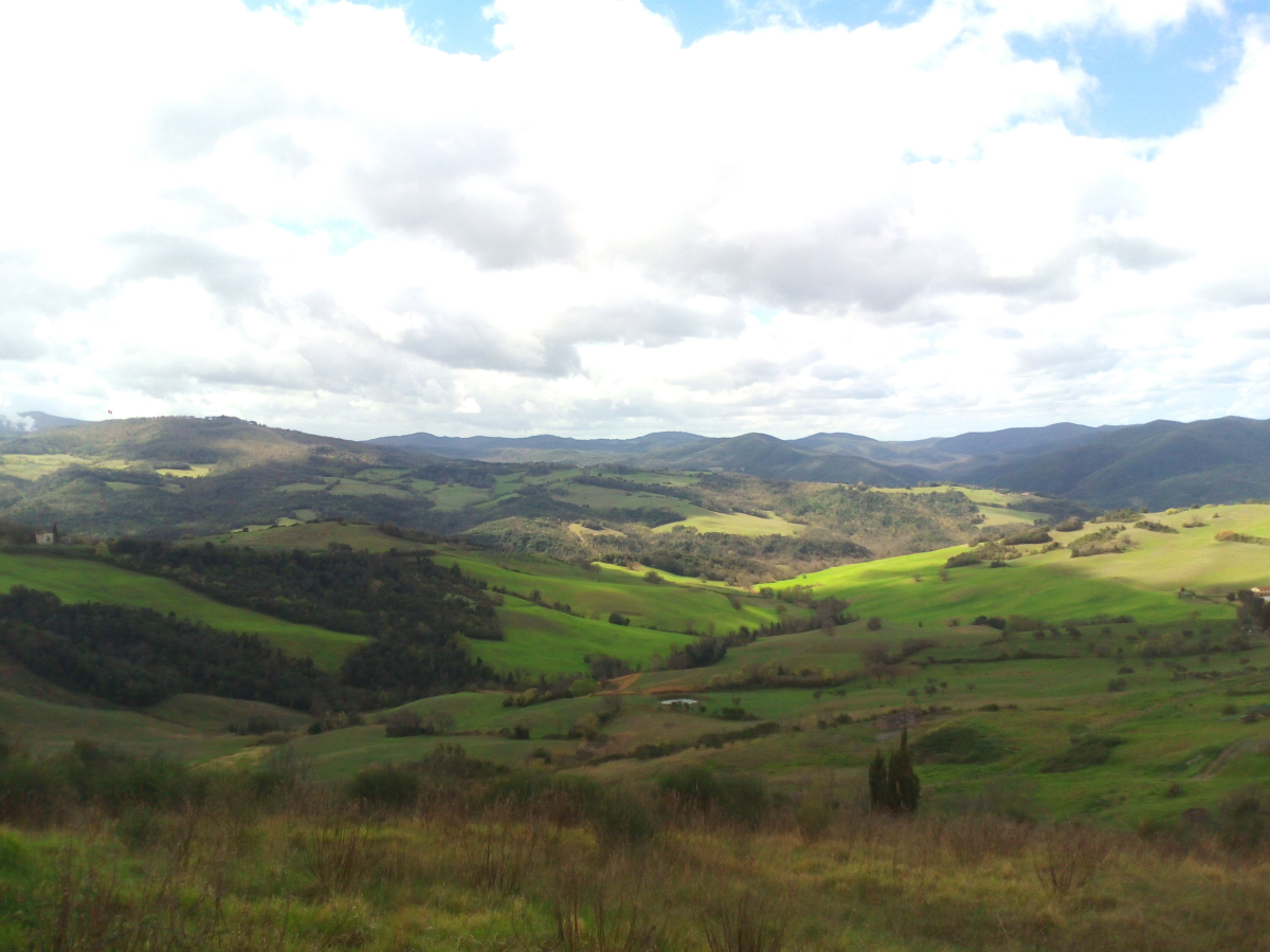
At Decimo, deciduous broadleaf trees (mostly turkey oaks) alternate with Mediterranean evergreen shrubs and a patch of lowland forest typical of hilly valley floors, with trees such as the southern ash and white hornbeam. From then you can move back to a paved road that crosses with a flat part of SR 68.
After passing the village of Ponteginori you then go back to Gello via one of the most beautiful (with little to no traffic) scenic roads in the Cecina Valley and enjoy a breathtaking landscape featuring woods and open fields; you can also enjoy views over much of the Cecina Valley as well as the peace and quiet of the small Etruscan village of Gello and its ancient castle in Volterra.
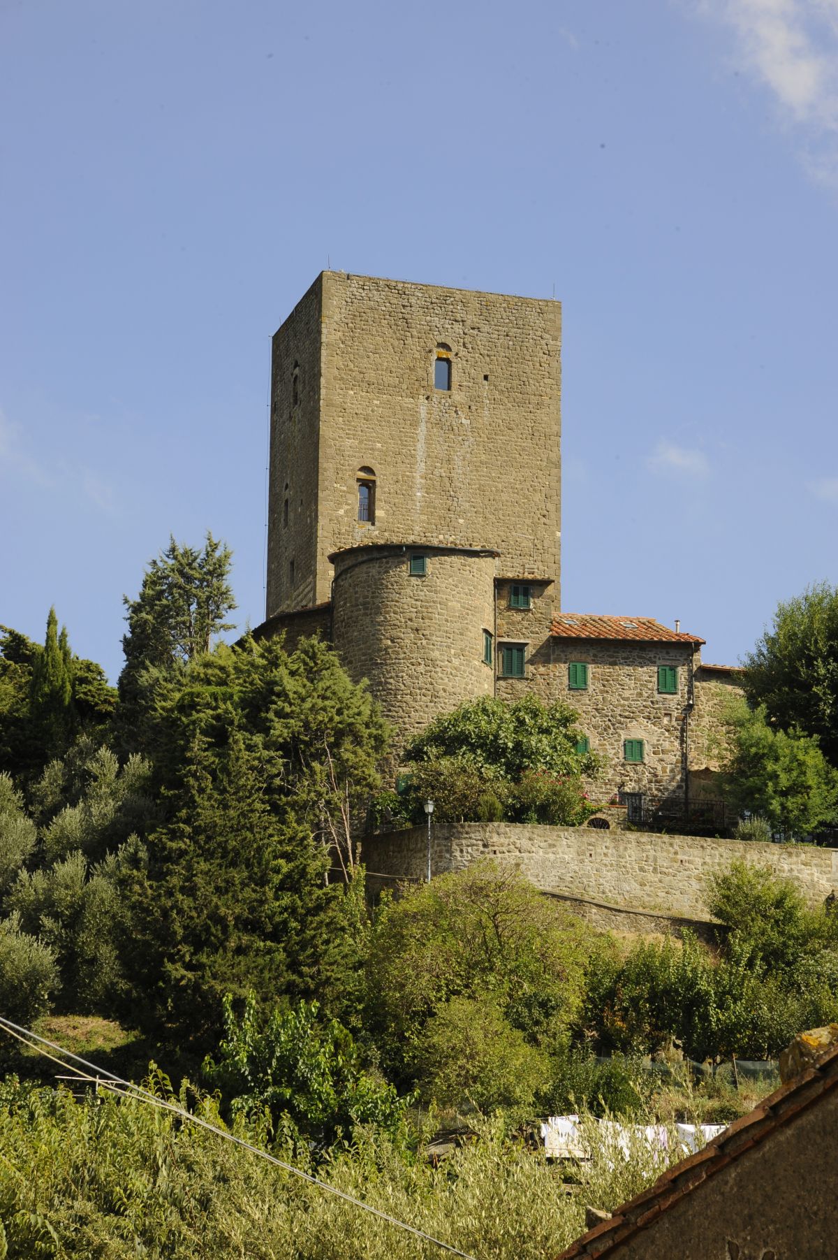
The appearing of the mighty Belforti tower (11th century), which dominates the stunningly beautiful village of Montecatini, will mean that you have now returned to the starting point and can now lose yourself in the quiet, discreet alleys and small squares of the village, rest in Piazza della Repubblica enjoying it or visit the old mine.