Difficulty level
E
Zu Fuß
Die Ophioliten von Poggio Donato
The starting point of the trail is signposted at the entrance to the Reserve and can be reached by footpath (approx. 1.7 km) or dirt road (approx. 2.5 km) open to traffic only on certain weekends, and for a maximum of 25 cars.
The route is part of the 7 Sentieri Natura delle Riserve Naturali (Nature Trails of the Nature Reserves) and it features a guidebook describing a series of marked and numbered points of interest along the way.
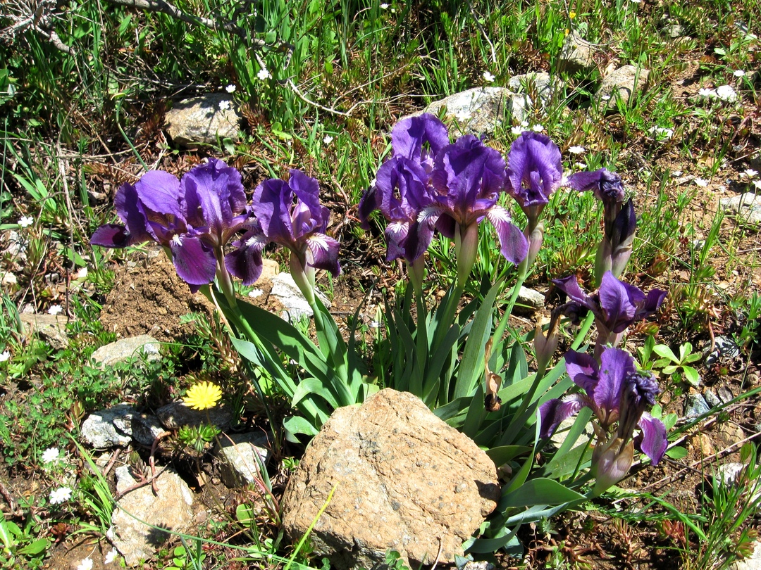
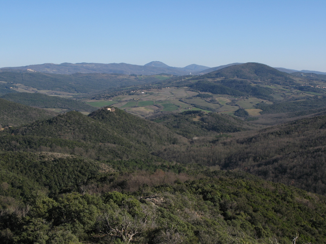
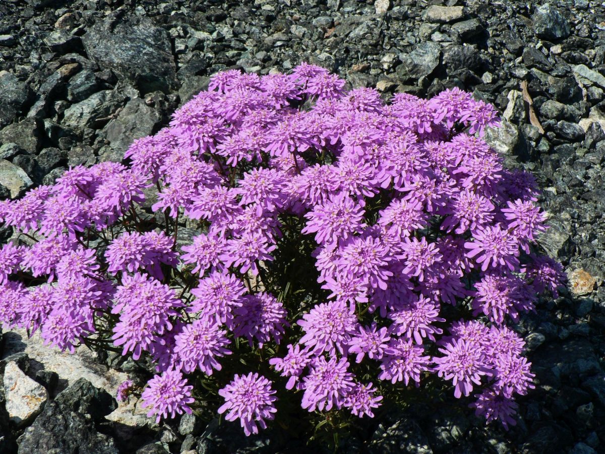
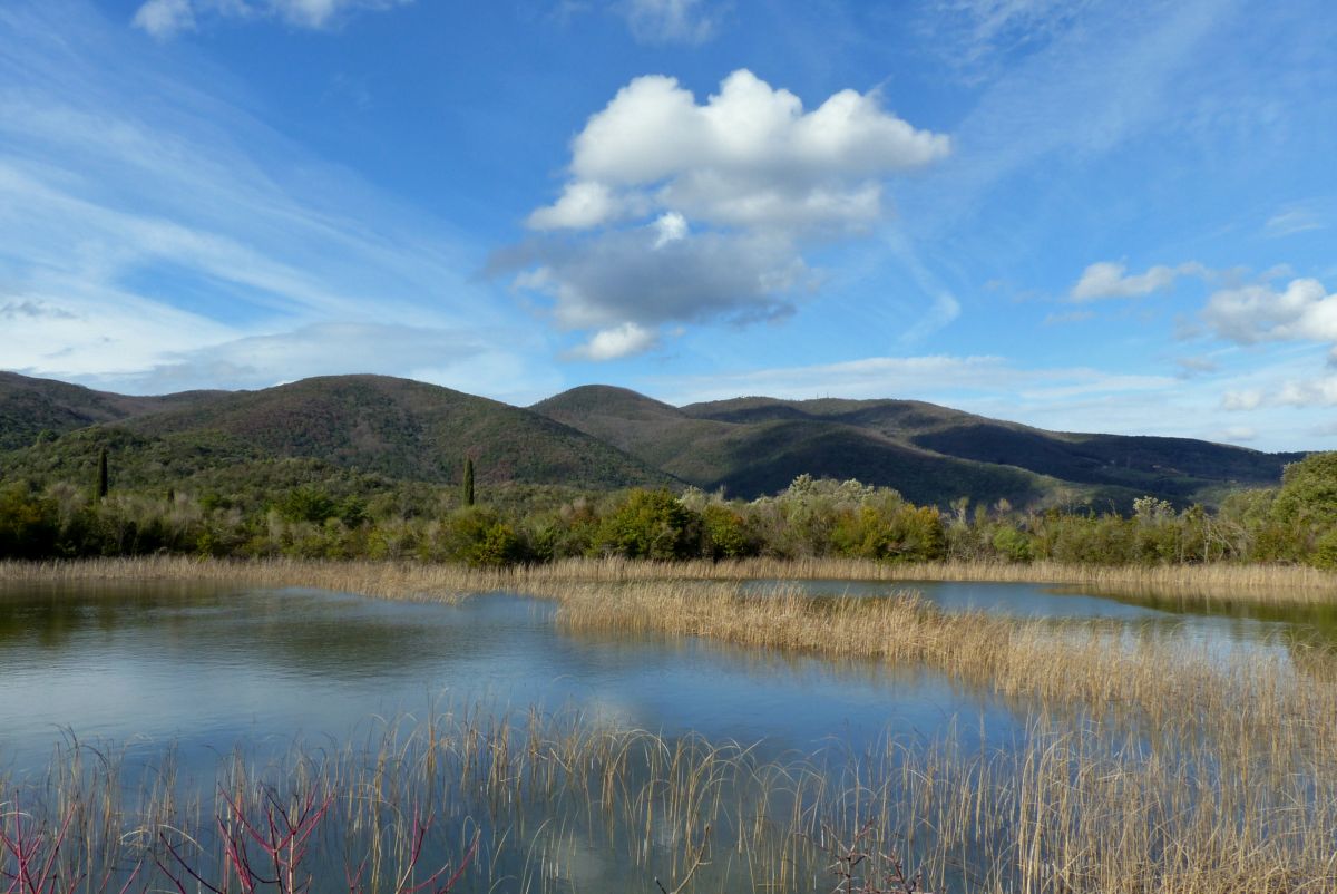
The route crosses almost all the natural environments of the Caselli Forest: from the small lake, with the surrounding agricultural areas, to the reforestations, then the cool and damp gorges, up to the dry and “lunar” garrigue of Poggio Donato.
During the trip it is possible to reach some of the most remote and wild places of the Reserve; the strong “wilderness” nature of some areas is one of the most interesting elements of this forest. From the access area near the Caselli pond, the path crosses a slope where traces of ancient and recent human activity (such as vast reforestations, pastures and cultivations) are evident.
After crossing a small ridge, the trail enters the forest and then, after a short diversion, reaches the Rivivo stream gorge. From here, a steep climb through a luxuriant holm oak wood leads to the typical garrigue of ophiolites, the peculiarly beautiful environment of the summit and the ridge of Poggio Donato. The easy way back to the lake will let you go through all these amazing environments again.