Difficulty level
TC
Mit dem Fahrrad - Gravel
Mit dem Fahrrad - MTB
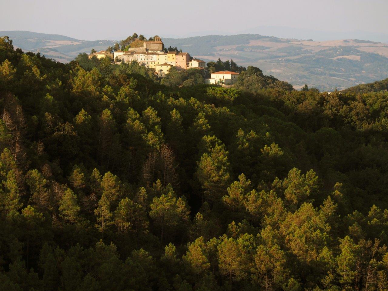
Die Dörfer Micciano und Libbiano und der Wald von Monterufoli
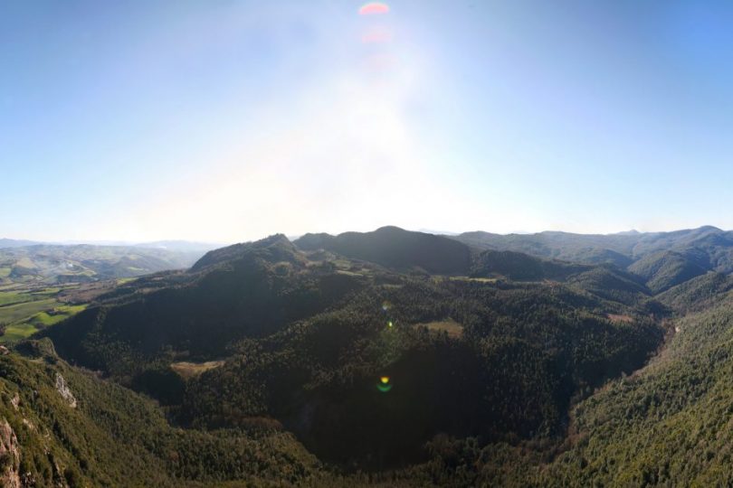
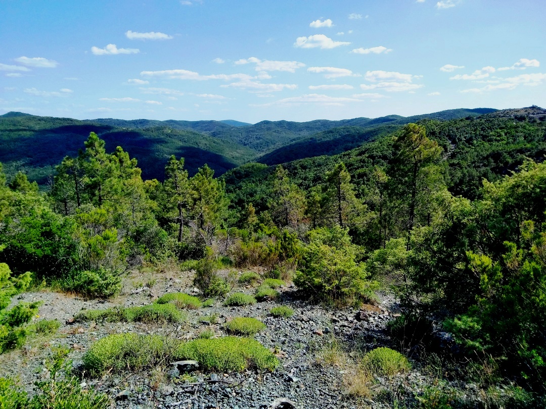
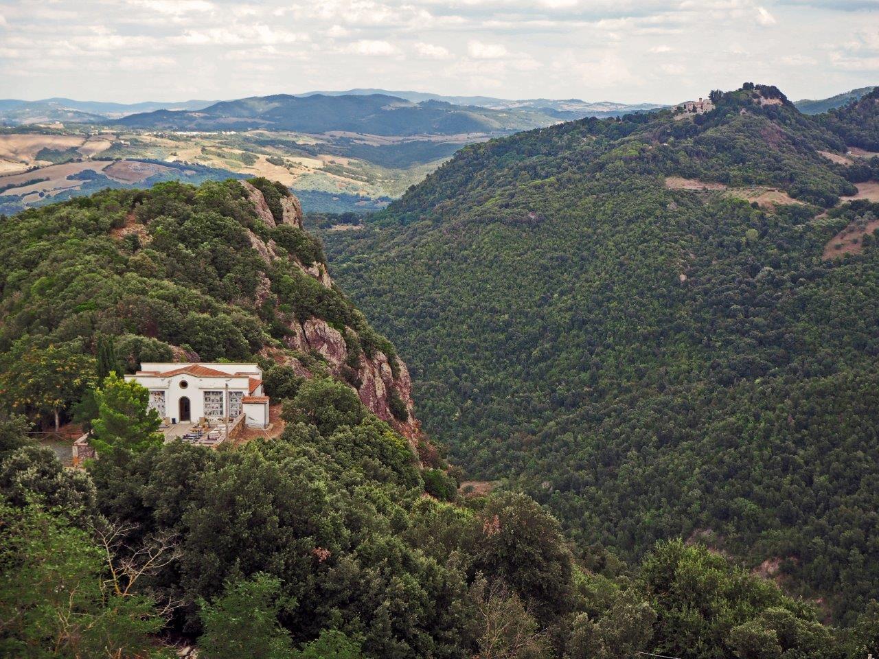
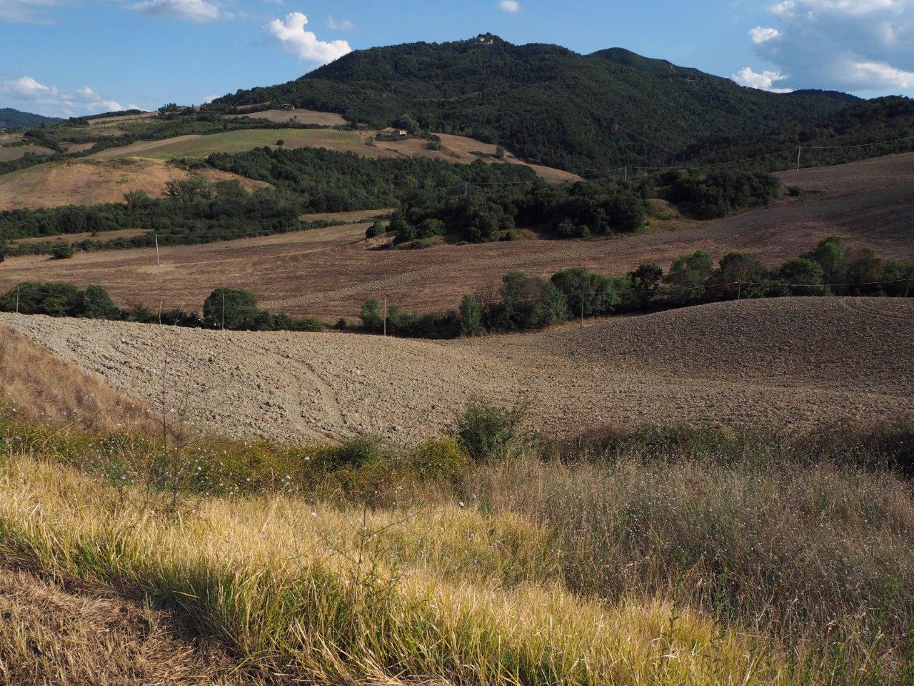
This ring route uses only cart roads and roads with no traffic and will allow you to visit an important part of the Monterufoli-Caselli Reserve, the Fosso Adio valley. You will thus discover an unspoilt area, mostly wooded, with sweeping views of the Trossa Valley, the Colline Metallifere, the Volterra area and the Lower Val di Cecina. Before setting off, a short path behind the old cemetery leads to a rocky spur much loved by the inhabitants and called the “Pizzo di Micciano”, from which you can enjoy an extraordinary view of the Reserve.
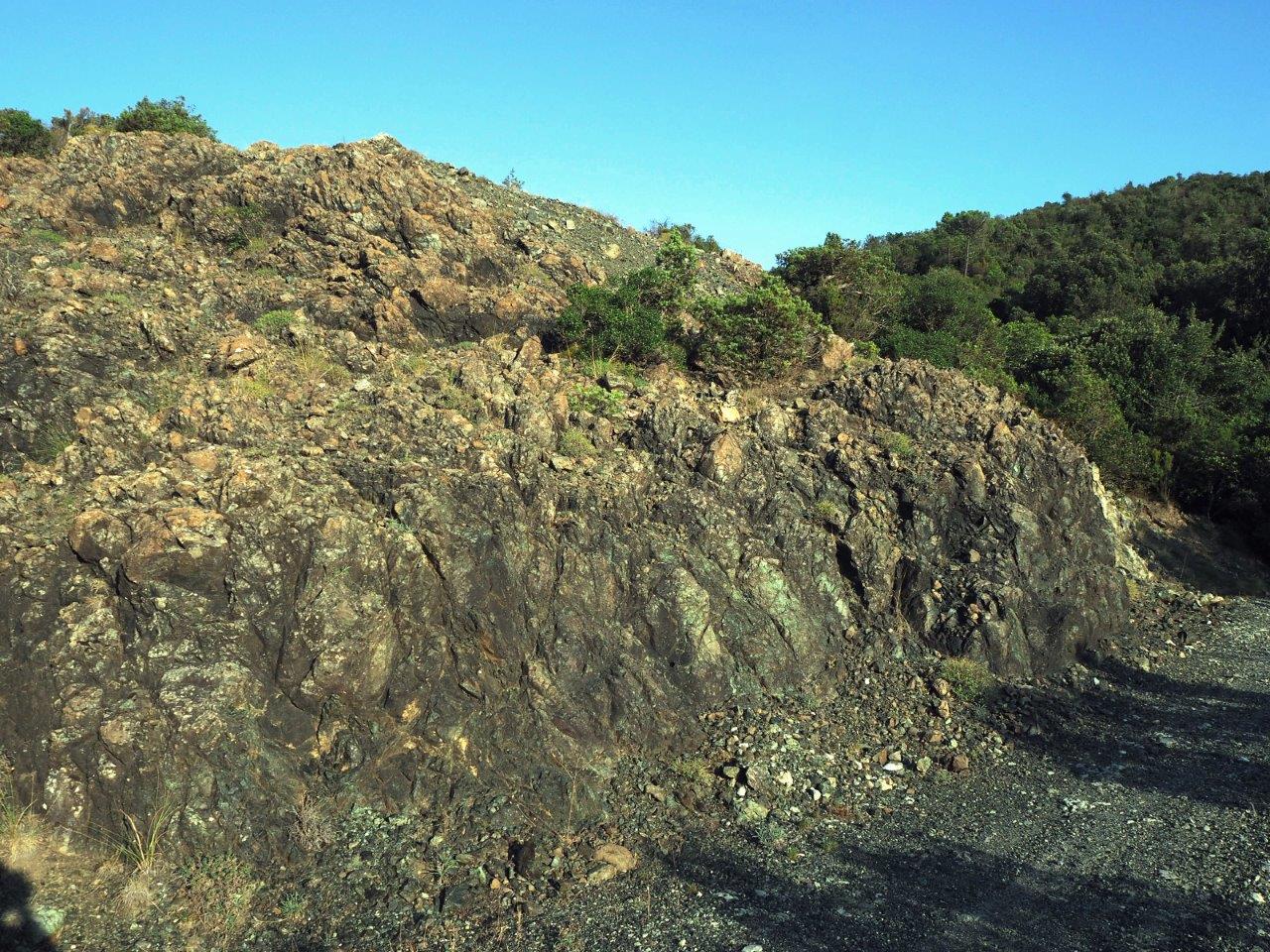
The small road, which unwinds like an amphitheatre around the Adio valley and is for long stretches deeply immersed in the forest, alternating with areas of serpentine rock outcrops characterised by extraordinary spring blooms, such as the mountain tulip, narcissus and various species of orchid. Various vantage points will allow you to observe the flight of numerous birds of prey, buzzards, short-toed eagles and others. It is also easy to meet ungulates (wild boar and roe deer), mammals (wolf, fox, badger, porcupine), mustelidae and, with a little luck, wolves and wild cats.
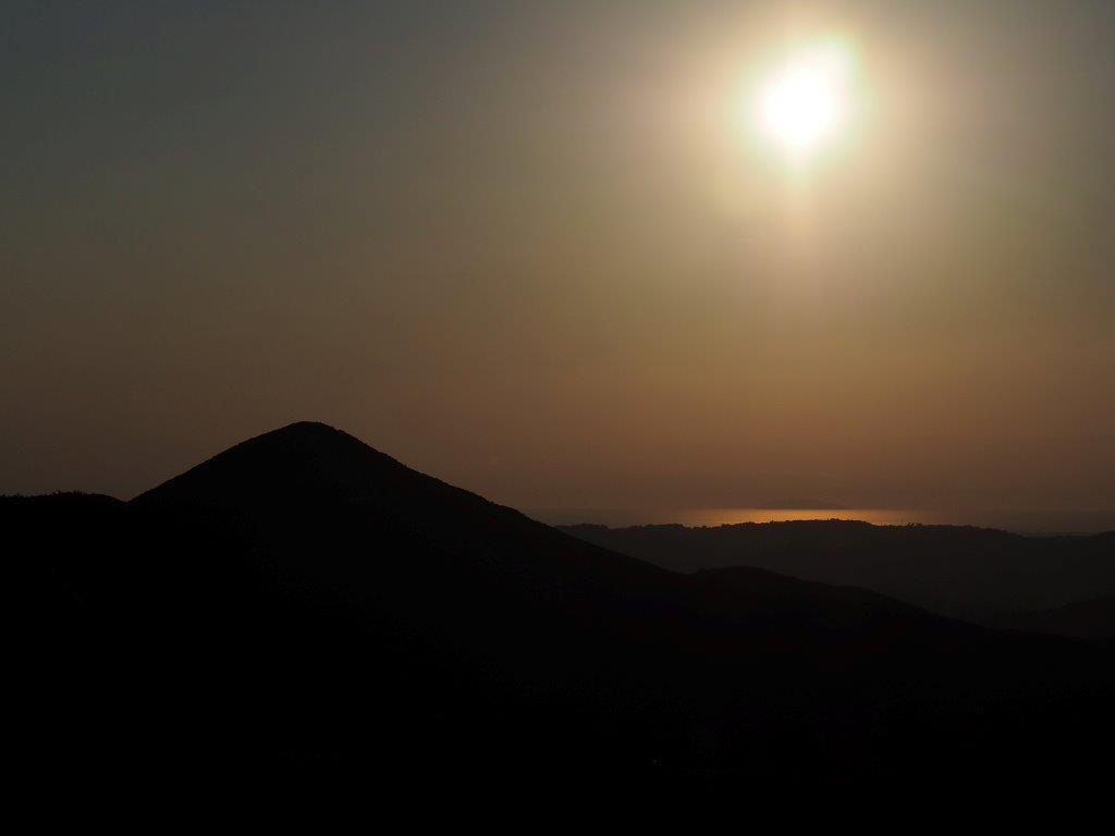
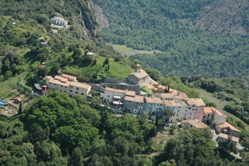
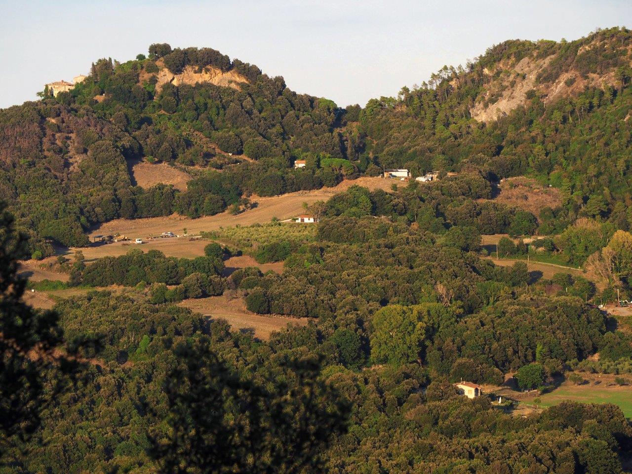
But the pearls of the tour are the medieval villages of Micciano and Libbiano, founded in ancient times, from whose summits and steep winding roads you can enjoy exceptional views, stretching from the Apennines to the sea. A short diversion along the route will take you to the legendary Villa di Monterufoli, a building of historical and artistic interest known as the “villa of the hundred rooms”, a stately villa and, in the Middle Ages, a small rural castle under the control of the Bishops of Volterra; it was the centre of a vast estate and is now used as a visitor centre, reception facility and educational centre for the Reserve.