Difficulty level
EE
Zu Fuß
Das Trossa-Tal und die Frontosini-Felsen
The starting point of the route can be reached from the villages of Libbiano, Micciano and Serrazzano, along the dirt road that leads to the Monterufoli Reserve.
We recommend NOT taking this route immediately after heavy rain because of the 2 fords on the Trossa stream.
WARNING, at the second ford on the Trossa, go slightly upstream and then take the track again on the opposite bank
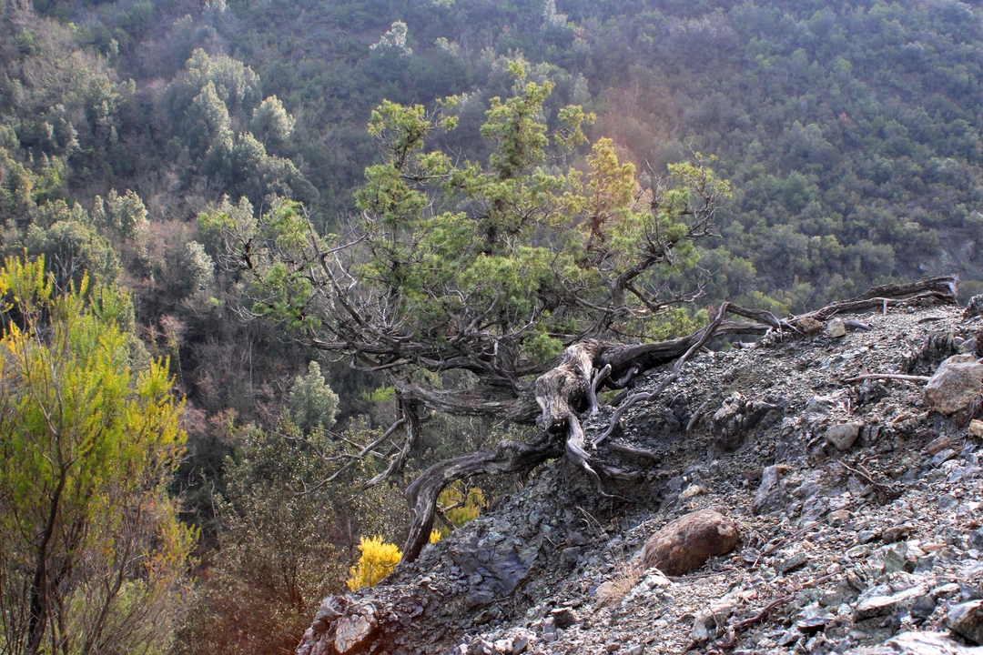
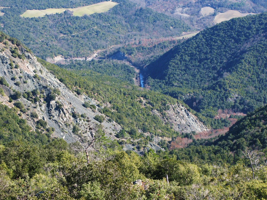
This is one of the most demanding routes as it features imposing rocky environments and wild river ecosystems of the Trossa torrent. After leaving the reforestation areas, where the maritime pine seems to have become an indigenous species in the Mediterranean scrub, the trail descends through garrigues with prickly juniper that then give way to incredible panoramic views of the Trossa valley and the Frontosini cliffs, steep, large scree slopes of serpentine rock where small mouflon herds may very often be spotted.
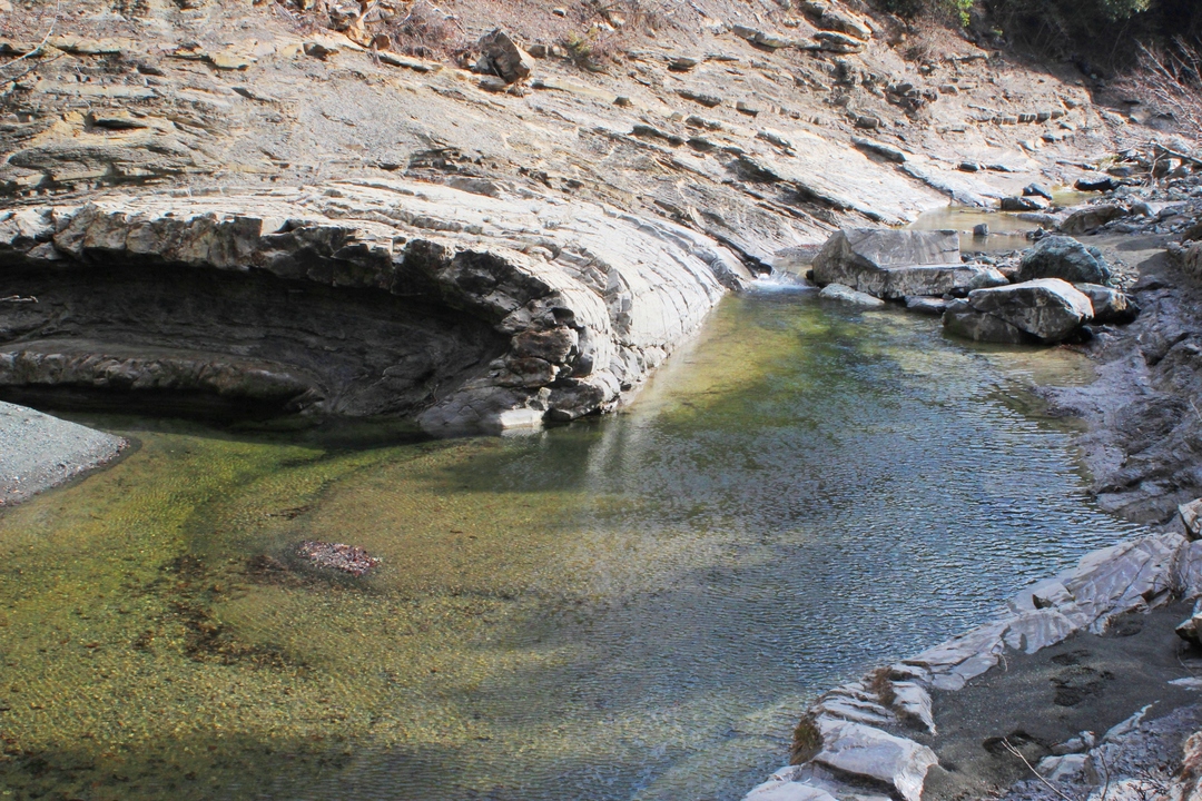
The ford of the Trossa is located in one of the most spectacular stretches of the torrent, nestled between gabbro boulders, geological folds of limestone, crystalline pools and particularly significant riparian flora and fauna. The trail climbs up through the cool holm oak woods of Farneta, passing ancient charcoal pits, before descending again to the Trossa.
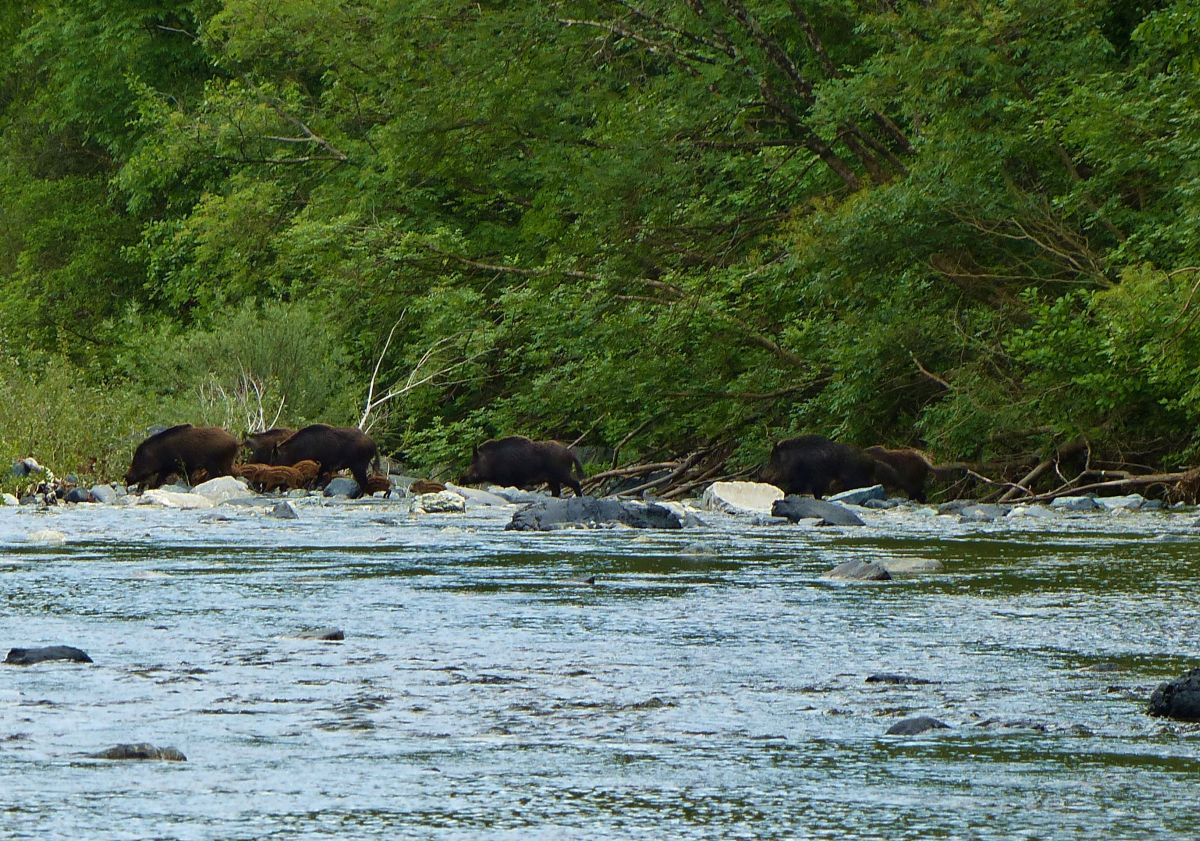
After a long flat stretch flanking the stream, you will then climb up towards Timignano, then find a rather cool and fertile area with small pools of water and clear signs of the passage of ungulates, foxes and wolves, until you will reach the final stretch of the Aia al Cerro with a reforestation of turkey oaks on areas that were once land used for agriculture and pastoral farming.