Difficulty level
E
Zu Fuß
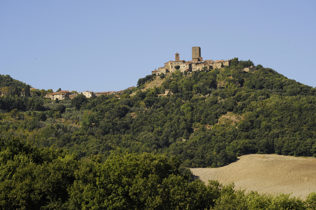
Alte Straßen und Landschaften rund um das Dorf Montecatini
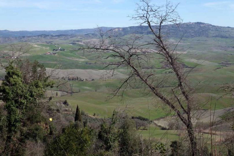
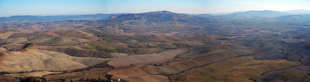
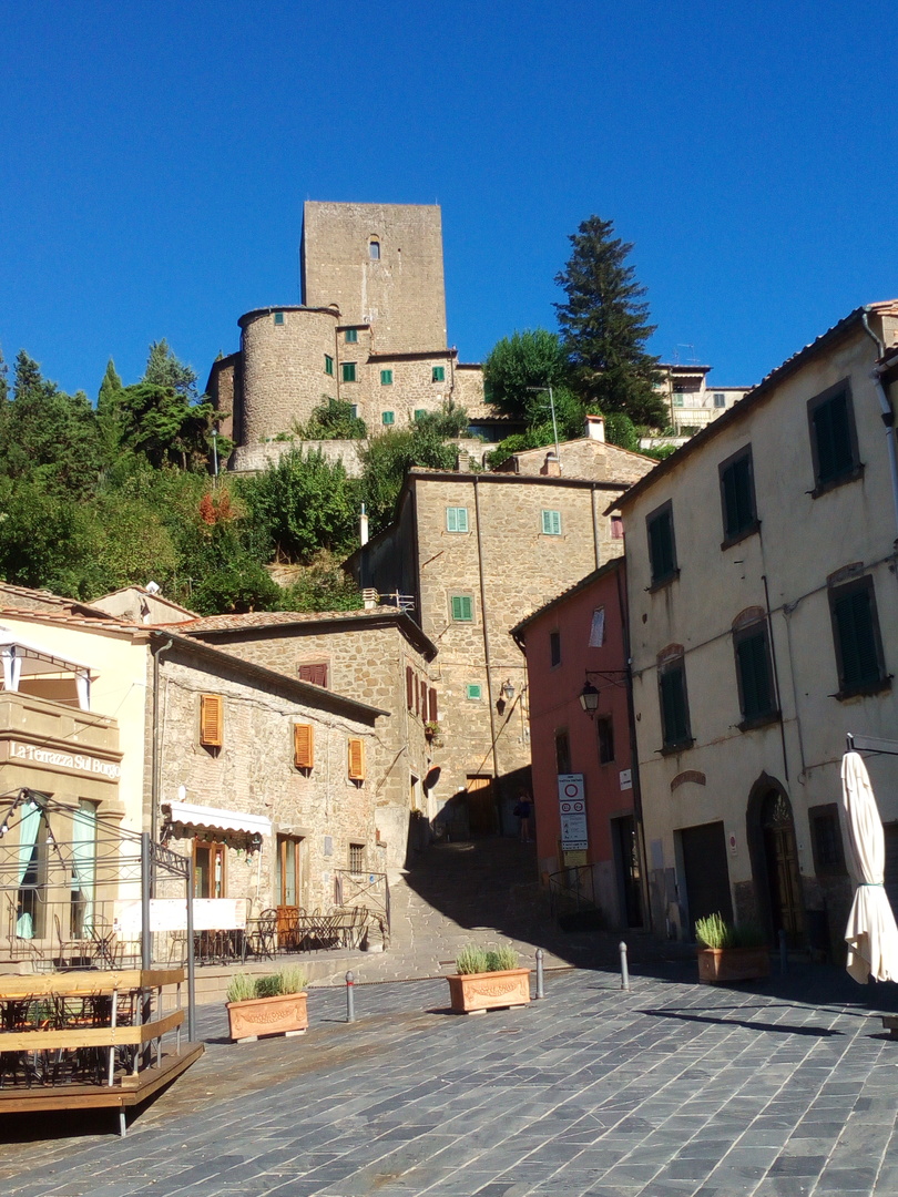
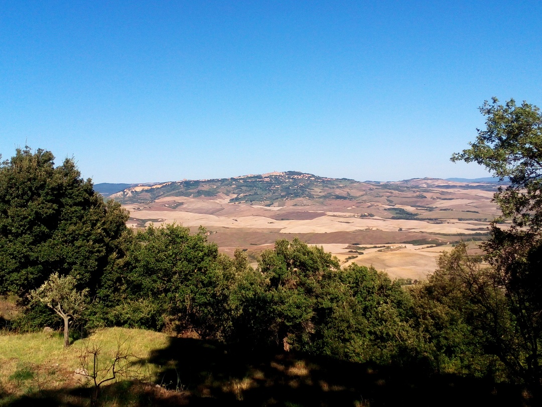
This ring route touches the slopes of the enchanting medieval village of Montecatini Val di Cecina. It starts in the town square and descends southwards along the old road indicated in the Leopoldine land register as “Via delle Moie”, which once led to the Volterra’s saltworks. The route stands out for its breathtaking views of towards Volterra and the upper Val di Cecina: woods, open areas with rocky outcrops, abandoned terraced cultivation, dry stone walls made of selagite stones, now recovered and covered with olive trees again. The selagite, scattered all over the place and quarried on several fronts along this itinerary, is unique to this area and was already used by the Etruscans and the Romans. While going back to the village you can also admire the remains of ancient chestnut groves and, in the final part, the Fonte della Madonna, a large building recently restored and partially rebuilt (in 1681 according to a stone). The last part of the route follows the old, still paved medieval road leading to Volterra, which may already have been there in the time of Ancient Rome. Finally, you can pay a visit to the medieval town with its perfectly preserved and deeply charming castle.