Difficulty level

TC/MC

Bicycle - Gravel

Bicycle - MTB

Grand Tour of Geothermal Energy phenomena and the Parks

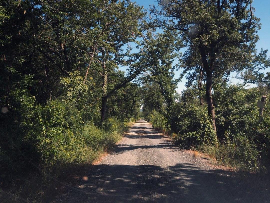
This grand tour goes through the heart of the geothermal phenomena territory, touching on villages, valleys, forests, natural geothermal events and production plants, both older and newer.

Leaving Pomarance towards Larderello, after about 6 km you will reach the path that rapidly descends to the ancient Bagni di San Michele alle Formiche, a spa site which was already famous in Roman times but now has been abandoned. Continuing along the route you will thread along a short stretch of a cart road that runs along a steam pipeline until you reach a rest area, from which you can then walk to the Poggio della Marruca viewpoint in a few minutes. Before climbing above Montecerboli, there is a short diversion to visit the small medieval village.

Continuing along the trail, you will enter a lovely pine forest and Mediterranean maquis, with a wide scenic view, on one side towards Larderello and the Siena hills, and on the other towards the Valle del Secolo and the forest of the Monterufoli-Caselli nature reserve. The trail leads downhill to the new Montecerboli power station, offering also a simultaneous view of the historic Larderello power station, the first of Tuscany’s geothermal phenomena era. After fording the Secolo stream, you can continue through woods and pastures until you cross the provincial road to Serrazzano, an ancient fortified village, probably built on a Roman settlement and located on the watershed between the Val di Cecina and Val di Cornia. After passing Serrazzano, you then leave the provincial road and take the dirt road that plunges into the Monterufoli forest nature reserve. Here you will find yourself in a wild environment where evidence of human intervention can be seen first in the agricultural and pastoral, then in the traces of past mining activities.

Continuing the “ride” in the heart of the forest, you can climb upwards to the Adio valley, with spectacular views on the valley floor and the gorge between the fortified villages of Micciano and Libbiano.

The cliff of Micciano stands out majestically on the ridge: a short ramp takes you to the top of the village, where you can enjoy a 360° panoramic view, from the Apennines to the sea. The last stretch of the itinerary, from Micciano to Pomarance, is still greatly exciting, with sweeping views of the varied countryside and the Adio and Trossa valleys. In Pomarance, finally, you can visit the medieval town centre and the “via dei signori” with the interesting Palazzo Bicocchi house museum and the “Guerrieri ed Artigiani (dalla Preistoria al Rinascimento” (Warriors and Craftsmen, from Prehistory to the Renaissance) permanent exhibition.

Continue

Itinerary

X

This grand tour goes through the heart of the geothermal phenomena territory, touching on villages, valleys, forests, natural geothermal events and production plants, both older and newer.

Leaving Pomarance towards Larderello, after about 6 km you will reach the path that rapidly descends to the ancient Bagni di San Michele alle Formiche, a spa site which was already famous in Roman times but now has been abandoned. Continuing along the route you will thread along a short stretch of a cart road that runs along a steam pipeline until you reach a rest area, from which you can then walk to the Poggio della Marruca viewpoint in a few minutes. Before climbing above Montecerboli, there is a short diversion to visit the small medieval village.

Continuing along the trail, you will enter a lovely pine forest and Mediterranean maquis, with a wide scenic view, on one side towards Larderello and the Siena hills, and on the other towards the Valle del Secolo and the forest of the Monterufoli-Caselli nature reserve. The trail leads downhill to the new Montecerboli power station, offering also a simultaneous view of the historic Larderello power station, the first of Tuscany’s geothermal phenomena era. After fording the Secolo stream, you can continue through woods and pastures until you cross the provincial road to Serrazzano, an ancient fortified village, probably built on a Roman settlement and located on the watershed between the Val di Cecina and Val di Cornia. After passing Serrazzano, you then leave the provincial road and take the dirt road that plunges into the Monterufoli forest nature reserve. Here you will find yourself in a wild environment where evidence of human intervention can be seen first in the agricultural and pastoral, then in the traces of past mining activities.

Continuing the “ride” in the heart of the forest, you can climb upwards to the Adio valley, with spectacular views on the valley floor and the gorge between the fortified villages of Micciano and Libbiano.

The cliff of Micciano stands out majestically on the ridge: a short ramp takes you to the top of the village, where you can enjoy a 360° panoramic view, from the Apennines to the sea. The last stretch of the itinerary, from Micciano to Pomarance, is still greatly exciting, with sweeping views of the varied countryside and the Adio and Trossa valleys. In Pomarance, finally, you can visit the medieval town centre and the “via dei signori” with the interesting Palazzo Bicocchi house museum and the “Guerrieri ed Artigiani (dalla Preistoria al Rinascimento” (Warriors and Craftsmen, from Prehistory to the Renaissance) permanent exhibition.

X

Hiking difficulty scale

T - Tourist

Itineraries on small roads, mule tracks or easy paths, with clearly evident routes that do not pose uncertainties or problems of orientation. They generally take place below 2000 m and usually constitute access to mountain pastures or refuges. They require some knowledge of the mountain environment and physical preparation for walking.

E - Hiking

Routes that almost always turn on paths, or on traces of passage in various terrain (pastures, debris, stony ground), usually with signs. They require a certain sense of orientation, as well as a certain experience and knowledge of the mountainous territory, walking training, as well as appropriate footwear and equipment. Normally the difference in altitude is between 500 and 1000m.

EE - Expert hikers

Routes not always marked and which require a good ability to move on various mountain terrains. They can be paths or even faint traces that wind over rough or steep terrain, with steep and slippery slopes, scree and short snowfields that can be overcome without the use of climbing equipment. They need a good mountain experience, firm footing and good physical preparation. It is also necessary to have adequate equipment and equipment, as well as a good sense of direction. Normally the difference in height is greater than 1000m.

EEA - Expert hikers with mountaineering equipment

Routes that require the use of via ferrata equipment (lanyards, harness, heat sink, helmet, etc.). They can be equipped paths or real via ferratas. It is necessary to know how to use the technical equipment safely and have a certain habit of exposure and mountaineering terrain.

MTB difficulty scale

TC - Tourist

Route on dirt roads with a compact and smooth surface, suitable for vehicles.

BC - For cyclists with good technical skills

Route on very bumpy dirt roads or on mule tracks and paths with a rather bumpy but fairly smooth surface or compact but irregular, with some natural obstacles (eg rock steps or roots).

OC - For cyclists with excellent technical skills

As above but on very bumpy and / or very irregular paths, with significant presence of obstacles.

EC - Maximum level for the cycle excursionist

Path on very irregular paths, characterized by steps and obstacles in continuous succession, which require trial-type techniques.

Menu
Share This