Mit dem Fahrrad - Gravel
Mit dem Fahrrad - MTB
Tour Volterra Montecatini Val di Cecina
Die Sonderziele sind nur im außerstädtischen Bereich beschrieben
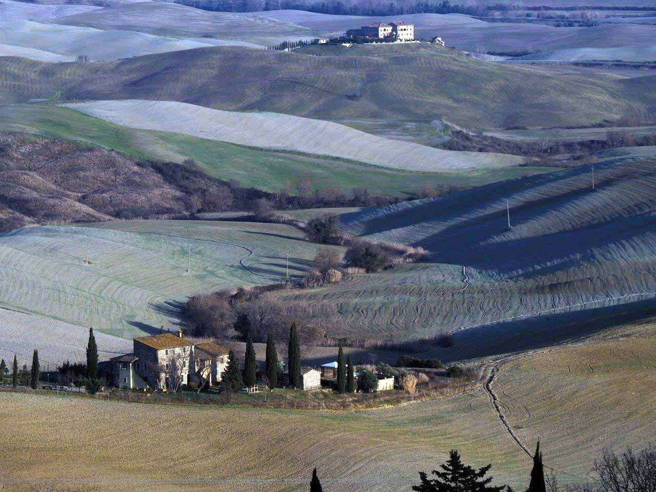
A large ring that connects Volterra, a city of art and culture with 3000 years of history, to Montecatini Val di Cecina, one of the most beautiful medieval villages in Tuscany and featuring the most famous and richest copper mine in 19th century Europe. Between them sprawls an extraordinary landscape where gentle hills contrast with wild and rugged gullies, crags and, as Montecatini draws closer, steep rocky reliefs that resemble mountain landscapes.
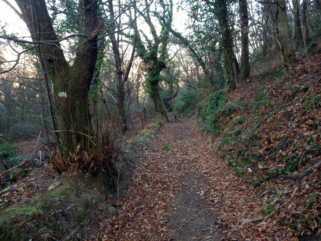
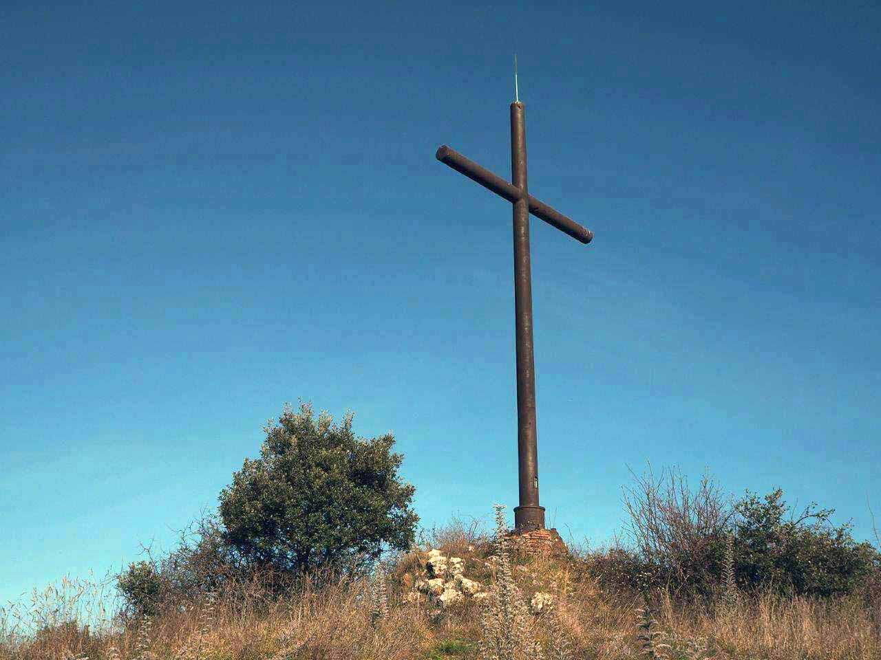
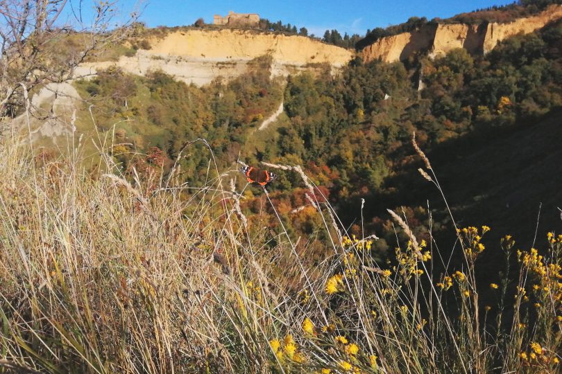
The itinerary begins at the edge of the chasm of the Balze di Volterra, with finely preserved remnants of the Etruscan city walls and at your back the massive Badia (a Camaldolese monastery of medieval origin), hanging between earth and sky over the abyss of the Balze that advance inexorably; from then you descend towards the Val d’Era. You will then take the panoramic dirt road called “Itinerario delle Balze e dei calanchi” from which you can take some detours to easily reach the environmental sculptures of the artist Mauro Staccioli, extraordinary expressions of “land art” that interpret the essence of the artist’s “places of experience”.
After about 600 metres on the flat SR 439 road, you can take another scenic dirt road again, the Vicinale di Cavallino from which you can move upwards and return to a proper, paved road.
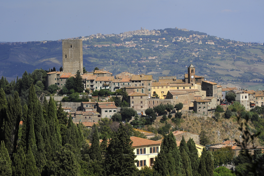
The final climb towards Montecatini features hairpin bends, breathtaking bird’s eye views and increasingly rocky and harsh terrain and makes you feel as if you were just moving towards a mountain village overlooked by the mighty bulk of the Belforti tower that, like a lighthouse, heralds the coming of the nearby ancient castle.
The history of the medieval village of Montecatini Val di Cecina is linked to its copper mine, which gave its name to one of the largest industries of the 20th century, which later became known as Montedison; the material evidence and the tales told by the elderly tell the story of the economic and social splendour of the early years of the Kingdom of Italy linked to the flourishing mining activities.
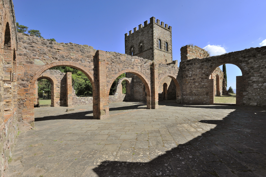
A little more than 1 km from the town the Caporciano Mine with the Pozzo Alfredo shaft, the workshops, the laverie and the 19th-century mining village are part of an Industrial Archaeology Park with various visiting itineraries.
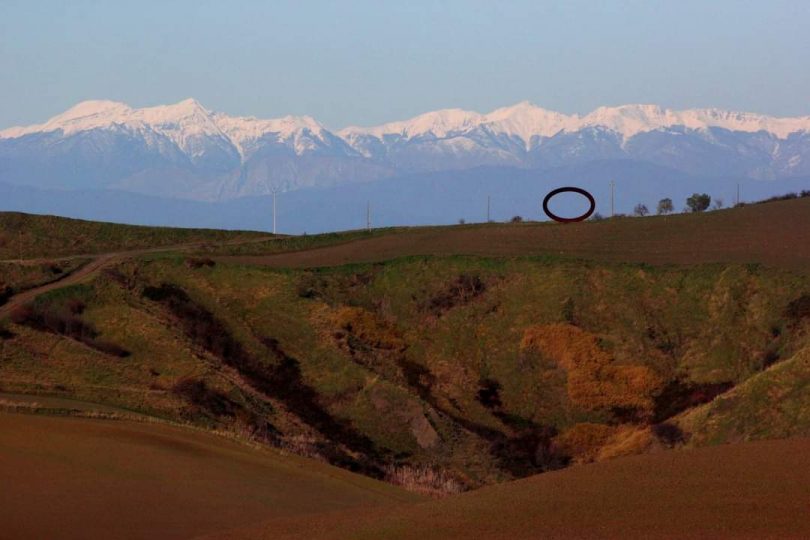
After passing the entrance to the mine access tunnel, you can take the road back downhill to Bacchettona, following the Ligia branch and there you can take the paved road SR 439 from which you can then take the Monte Volterrano provincial road, which has little traffic and a gradual climb that takes you back to Volterra, offering even more extraordinary views of the gentle countryside of the Volterran clay hills.