Mit dem Fahrrad - MTB
Salzstraße und Landschaften des Alta Val d’Era
Die Sonderziele sind nur im außerstädtischen Bereich beschrieben
The first part of the route coincides with the ancient “Via del sale” (“salt road”), which connected Volterra to Florence and the Siena area.
The ring route starts and ends in the Volterra city centre and is designed to allow exploration of an authentic “open-air museum” and take you to a journey through time and intertwining cultures: Etruscan, Roman, Medieval, Renaissance, all part of the unique Volterra landscape.
Already in the Middle Ages, several “Salaiole” (salt roads) branched off from the “moje” (salt-water pools) in the Volterra area and headed towards the most important towns in the Tuscan hinterland: Gambassi, Castelfiorentino, San Gimignano and Colle Val D’Elsa, and then connected with the main routes of the time, including the Via Francigena, which directly linked Siena and Florence.
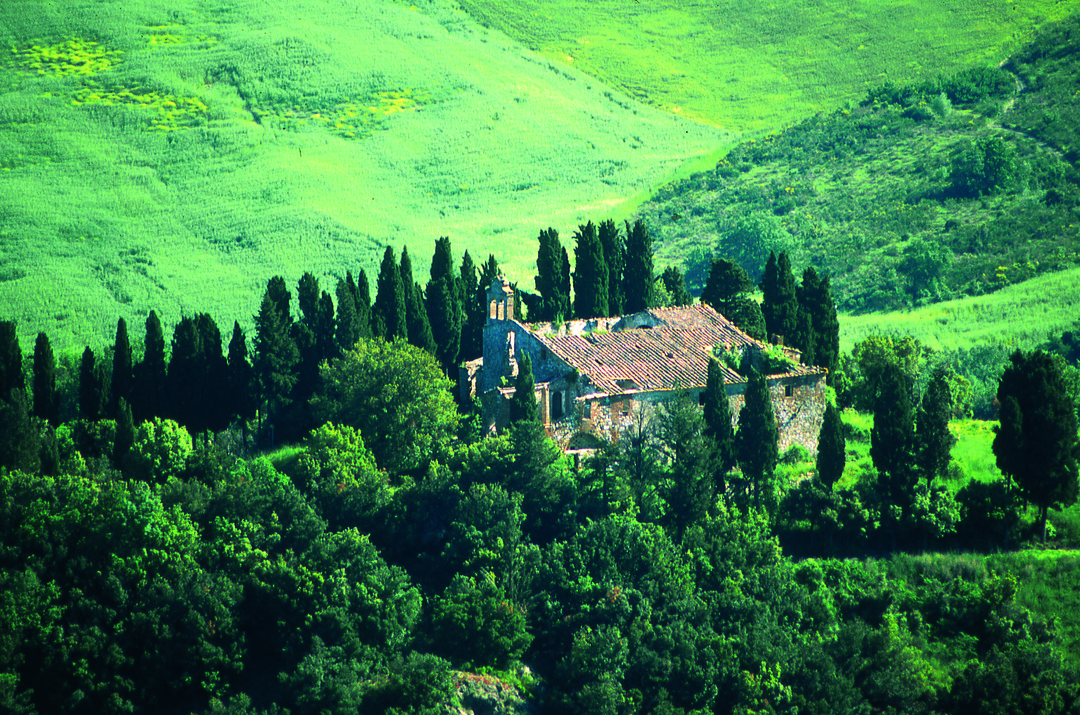
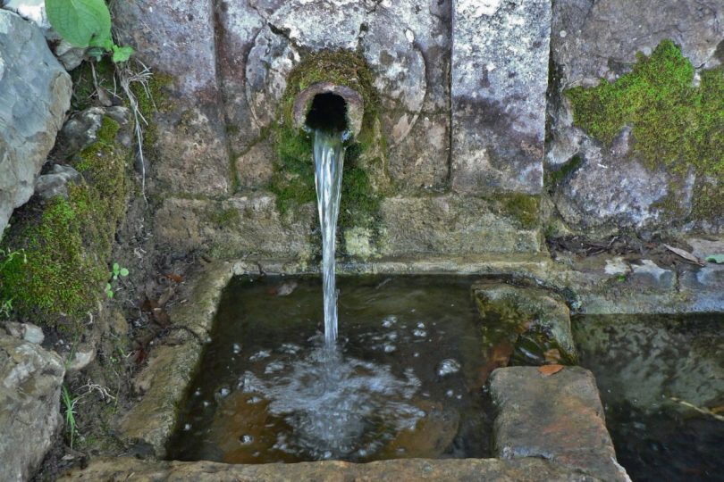
From there you can descend towards the Era valley along one of the ancient salt roads, also known as the Via Volterrana. Threading along this road the splendour of Volterra’s 3000 years of history will be immediately evident starting with the Roman amphitheatre (1st century AD), a sensational discovery in 2015, containing three tiers of seats and a structure measuring approximately 82 x 64 metres. After Porta Diana and the Etruscan hypogeum, you can follow the beautiful paved medieval road, embellished by the Fonte all’Agnello, down into the valley of the mills at Prato d’Era, cross the Era stream and reach Pian dei Gelsi.
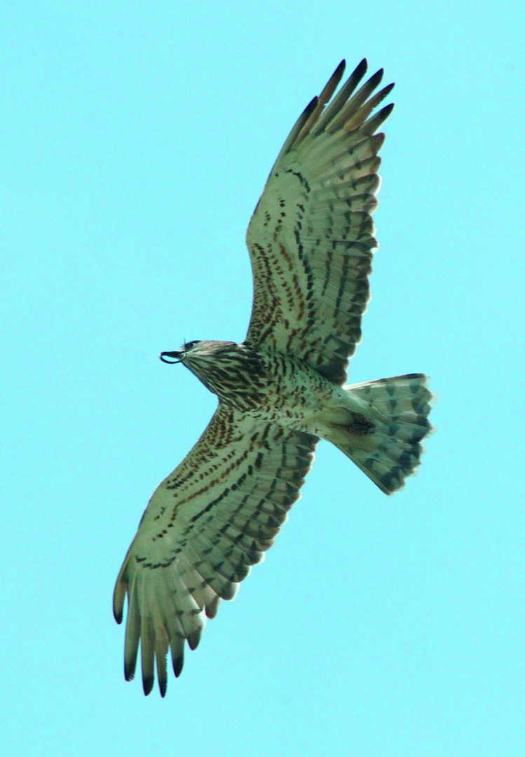
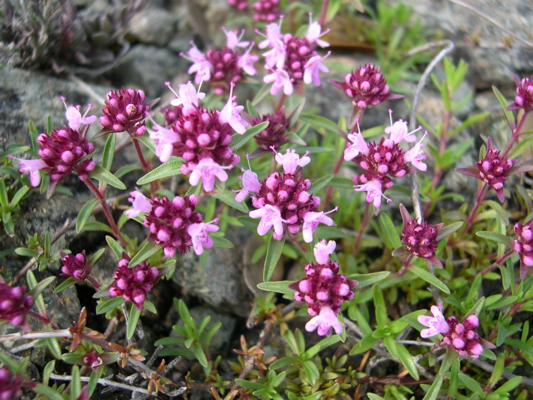
A dirt road climbs up along the clay hills and offers breathtaking views towards the ridge of Monte Cornocchio (631 m), passing near the Riserva Naturale di Monte Nero, a nature and wildlife treasure trove with small waterfalls. Your journey will then touch the beautiful villas of Ulignamo and Scopicci; the cereal fields will the give way first to olive groves and then to woods of holm and turkey oak, leaving the unmistakable and austere profile of Volterra in the background.
From the S.P. del Cornocchio road, after about 3.5 km you will reach Pignano, formerly an ancient rural castle which then became first a villa and then a farm. After a few more kilometres engulfed in a landscape where nature and history blend admirably, you will reach Villa Palagione at the foot of the evocative and legendary Monte Voltraio and its castle.
The steep ascent to Volterra will not only allow you to be amazed by an agricultural landscape of unparalleled beauty, but also to read a different, more recent and dramatic history, that of the Volterra Psychiatric Hospital, one of the largest and most modern in Italy, closed in 1978.