Difficulty level
MC/BC
Mit dem Fahrrad - MTB
Zu Pferd
Radtour durch das Naturschutzgebiet Berignone und Tatti
WARNING: the section on the path from the Tatti forest up until the Castello dei Vescovi, requires higher technical ability.
BEWARE of possible encounters with shepherd dogs on the return leg, namely from the exit of the Berignone Nature Reserve to the village of Mazzolla.
The trail starts from the medieval village of Mazzolla, whose origins date back to the 11th century and which is a true terrace overlooking the woods and countryside of the Volterra area. After crossing the Fosci stream – the northern boundary of the Berignone Nature Reserve – you will enter the forest on a dirt road that bears the traces of the old 19th-century agricultural system featuring pastures and cultivated land, now largely replaced by artificial reforestation with pines and cypresses.
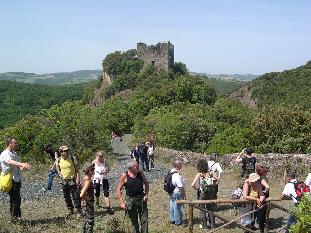
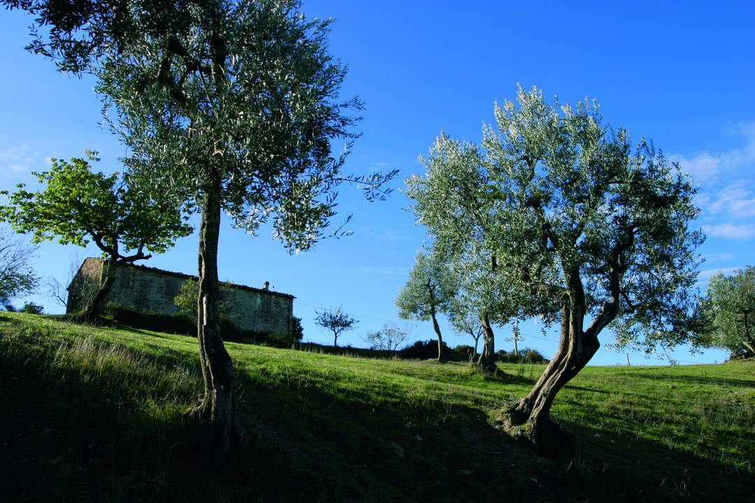
After passing Podere Il Pino you will reach Podere Caprareccia, located in a scenic area and surrounded by an olive grove of exceptional value for the stone structures in which the plants were cultivated. You will then climb up the wooded slopes – where holm oaks dominate – until, on the slopes of Monte Soldano, you will be invited by a spring to enter into the woods that, step by step, will change their appearance. After crossing the border of the Reserve you will enter the Tatti forest, known throughout Europe for being home and top growing area of the rare Central European oak. A path through the heart of Berignone leads to one of the Reserve’s symbolic sites, the medieval Torraccia, better known as the Castello dei Vescovi (Castle of the Bishops), located in an amazing position between the valley of the Sellate stream and the Botro a Rio gorge.
This part of the route is indeed harder from a technical point of view. From there you will finally descend along the old Maremma road while skirting the Sellate river: this part of the route features wetlands but also wide open areas, the favourable environment for ungulates such as fallow deer, wild boar and roe deer and their predator, the wolf.
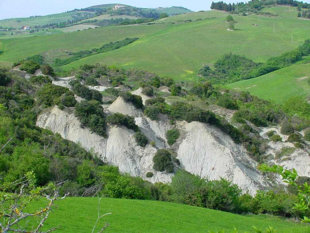
The route will then leave the reserve and climb up towards Mazzolla through a rural landscape of cypress rows, field trees, grazing flocks, hedges and farms.