Difficulty level
EE
Zu Fuß
Die Botticella-Minen und der Bach Trossa
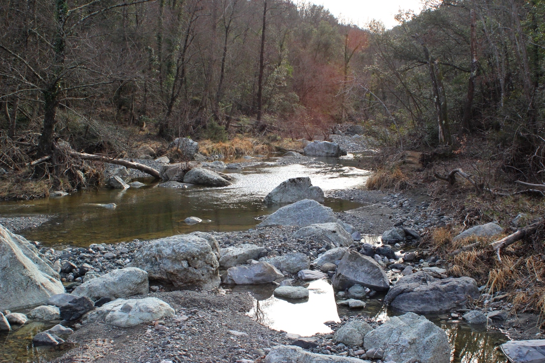
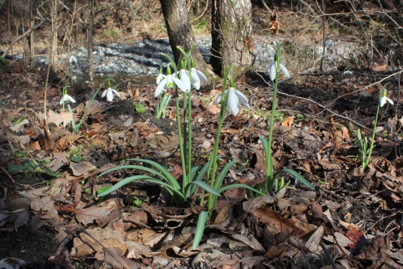
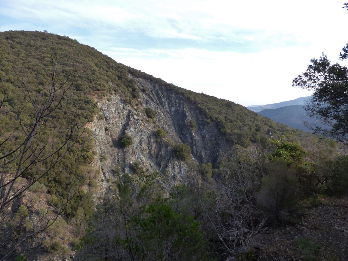
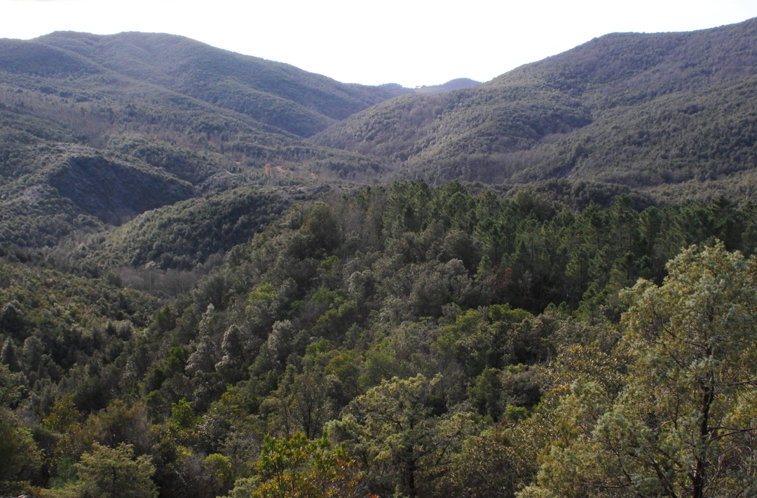
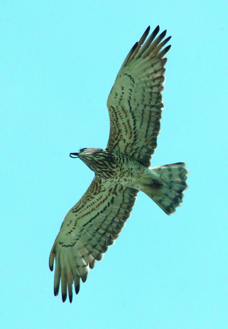
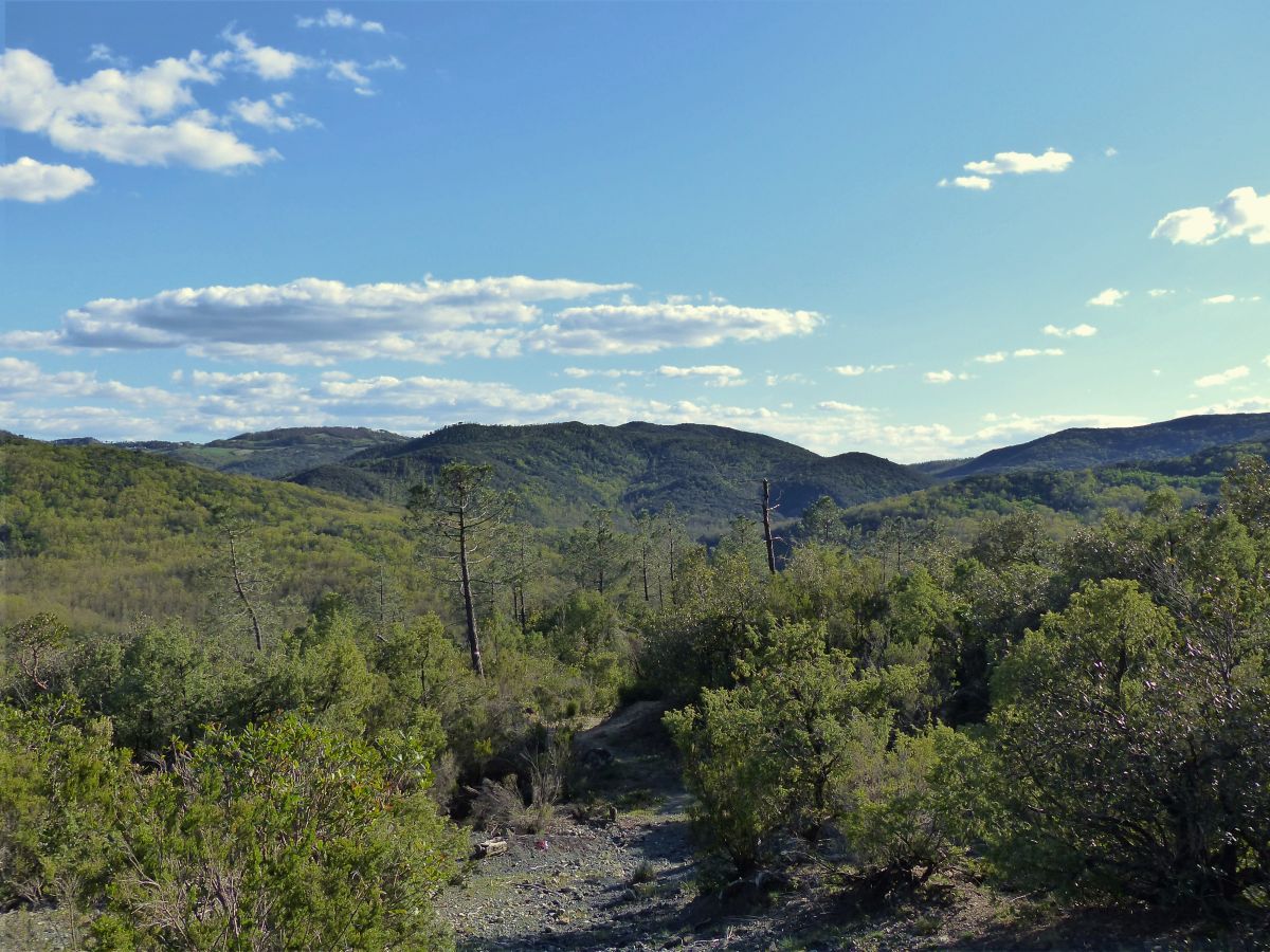
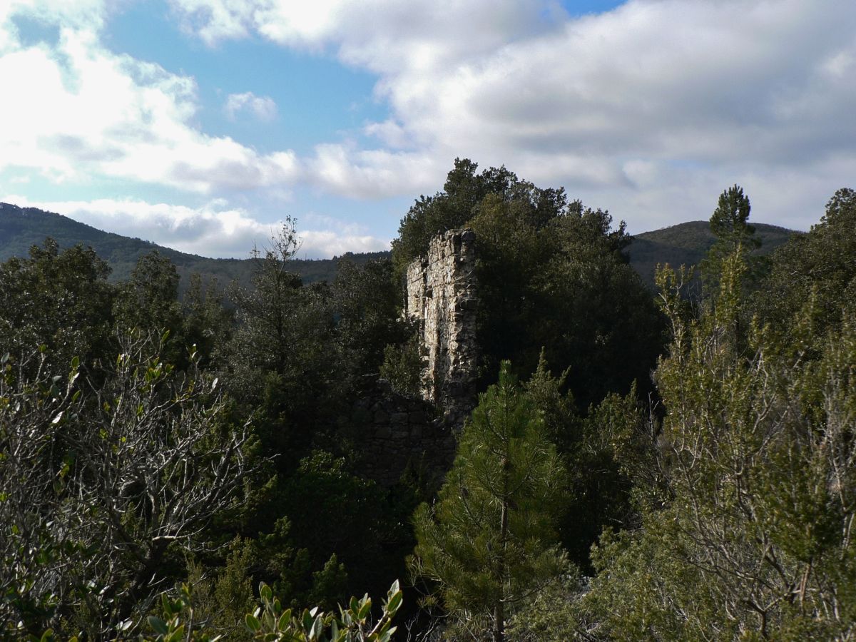
The starting point of the route can be reached from the villages of Libbiano, Micciano and Serrazzano, along the dirt road that leads to the Monterufoli Reserve. Traces of mining activity, rugged rocky outcrops of ophiolites, the Trossa stream set in a wild valley and huge forests are among the main features of this route. Threading along an old cart road, you can quickly reach the ruins of the Botticella building and, further down, the remains of extraction and storage wells. All of these remains can hardly help us, people of today, understand the momentous, painstaking copper hunt and mining works carried out in this area. The path will then go further down and the prickly juniper woodland gives way to cool woods with mixed deciduous trees and high biodiversity, with stretches of typical gorge vegetation – black alder and yew – particularly at the point the Trossa and the Linari ditch intersect. This is an amazing place embellished by monumental turkey oak trees and large serpentine boulders. The route then passes closer to the old Colleciurmoli mill and climbs northwards, with some spectacular views of the torrent. After passing the crossroads leading to the confluence of the Trossa and Secolo rivers (another extraordinary natural environment) you will enter the fertile Grufoleto wood, dominated by turkey oaks. Climbing upwards you will find the Botro di Santa Barbara nested between suggestive steep walls. Some remarkable scenic views may also lead to chance encounters with wild animals and with the traces of their presence (for example the mouflon still roams these cliffs). After reaching Podere S.Barbara you will then return to the starting point.