Difficulty level
T
Zu Fuß
Zu Pferd
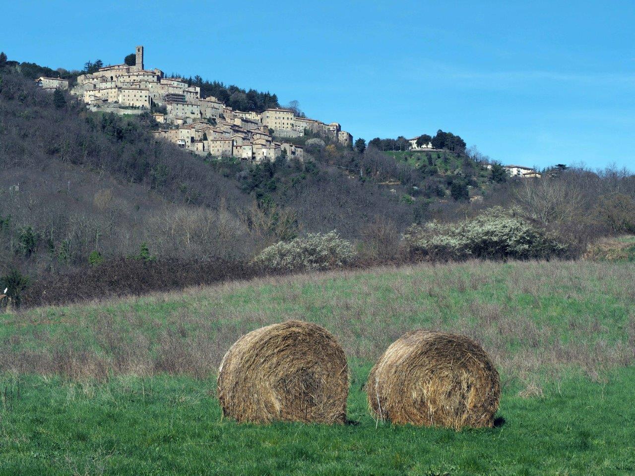
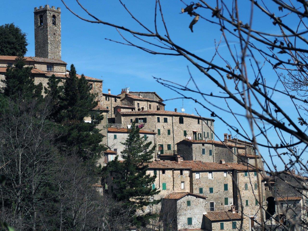
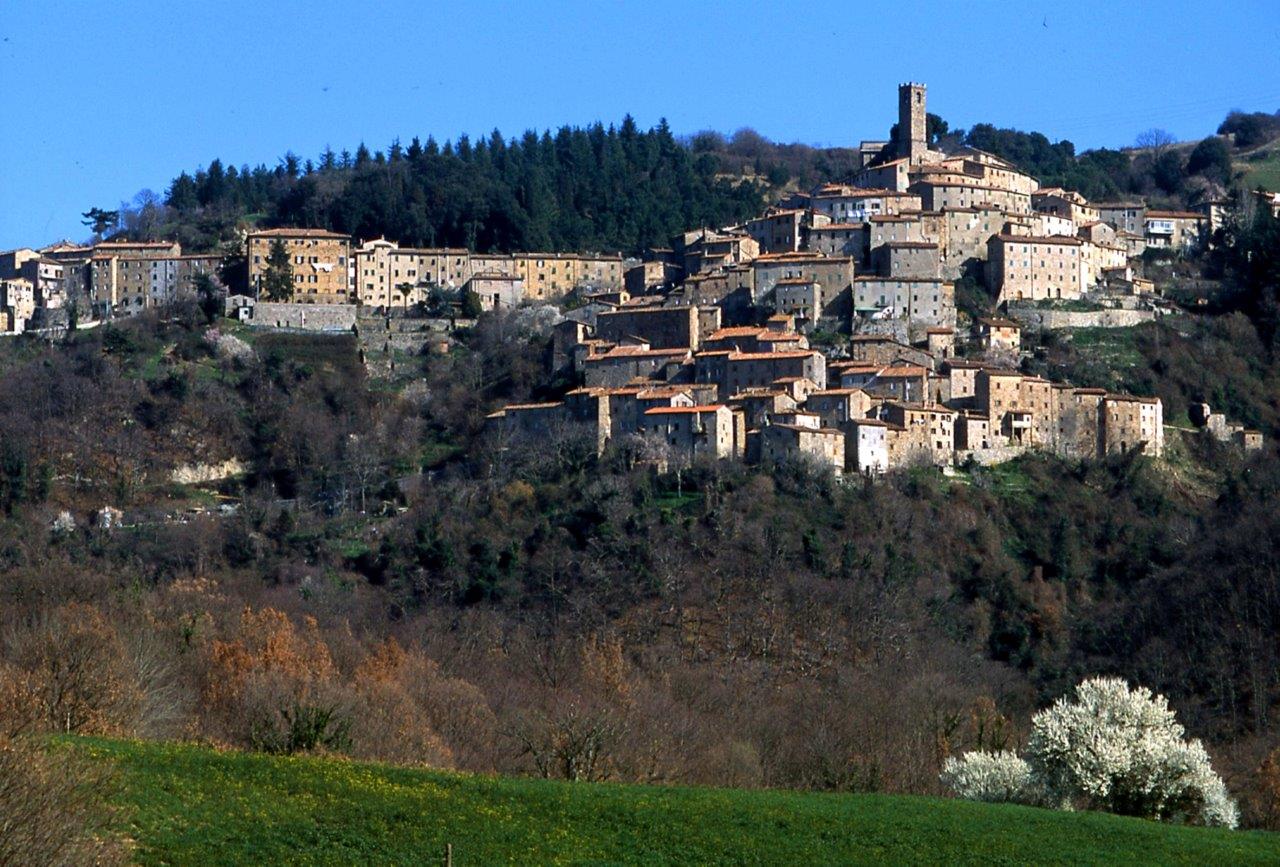
Castelnuovo und die mittelalterlichen Brücken
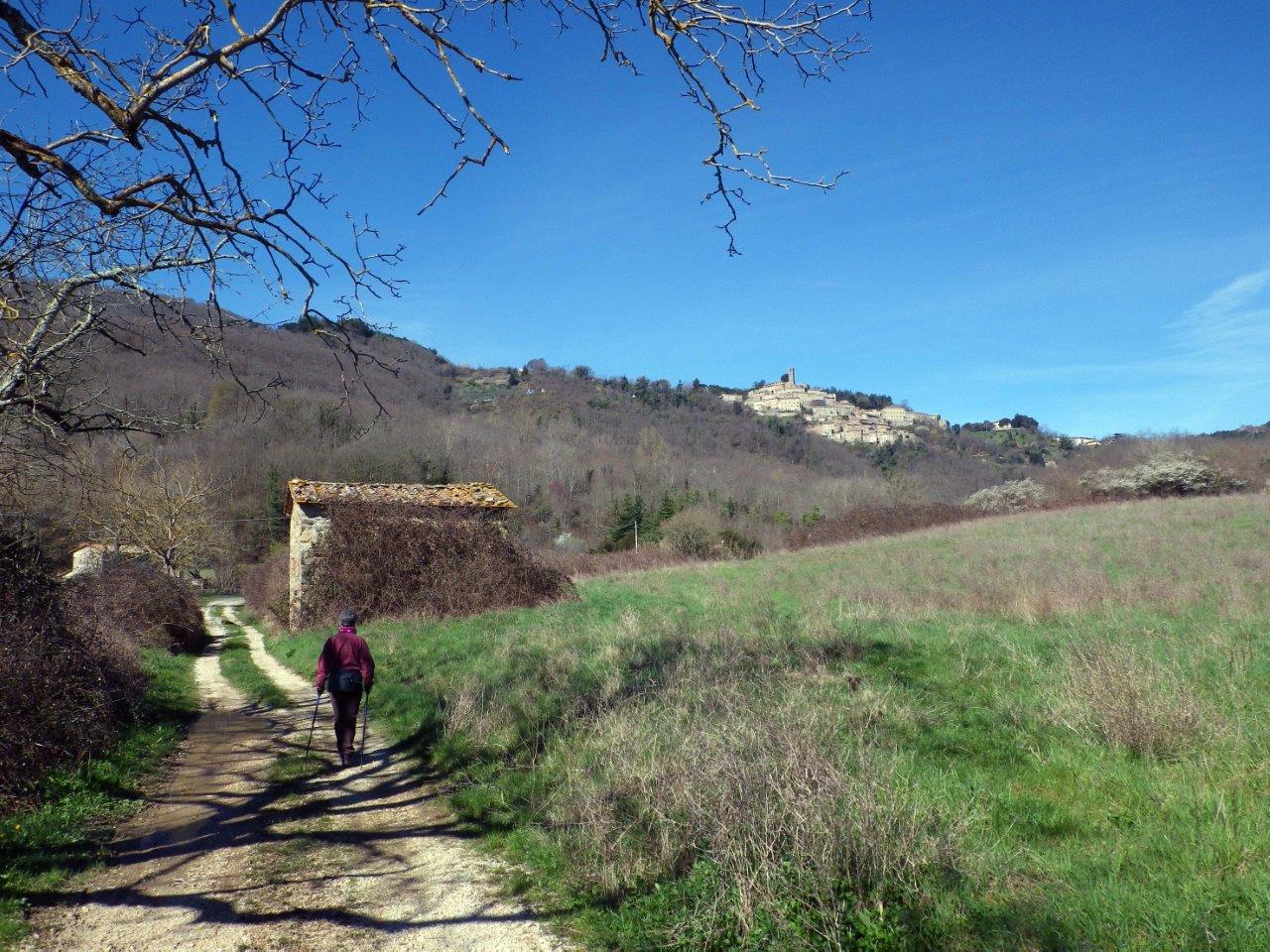
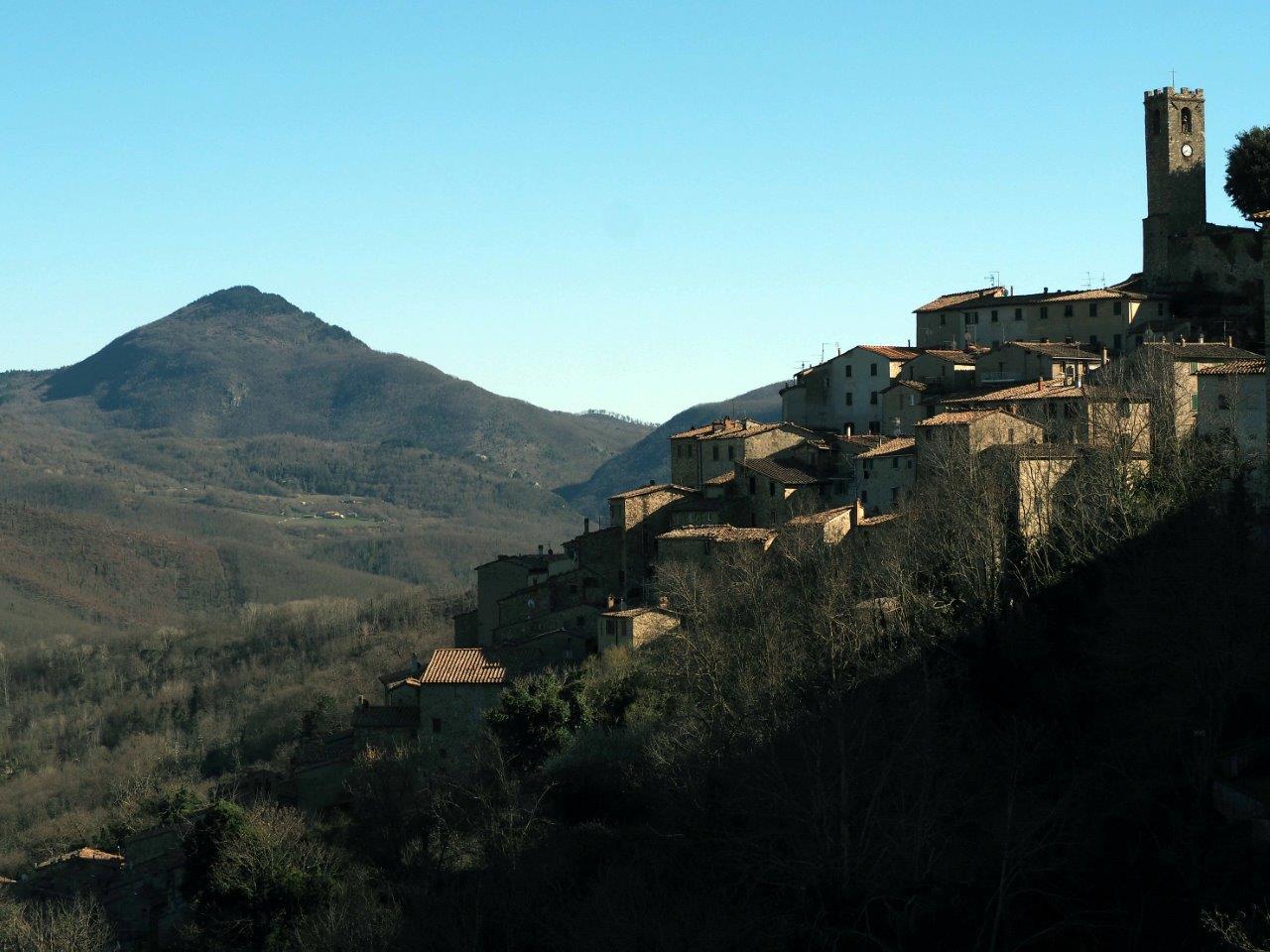
From the picturesque medieval village of Castelnuovo, which descends steeply in a maze of narrow streets and stairways, you rise again only to find yourself into chestnut groves, many of which are still fully operational and produce highly prized “marroni” chestnuts.
Paths and easy lanes lead to the bottom of the valley of the Pavone stream, where the landscape is gentle, green and bright and open to the amazing view of Castelnuovo standing above.
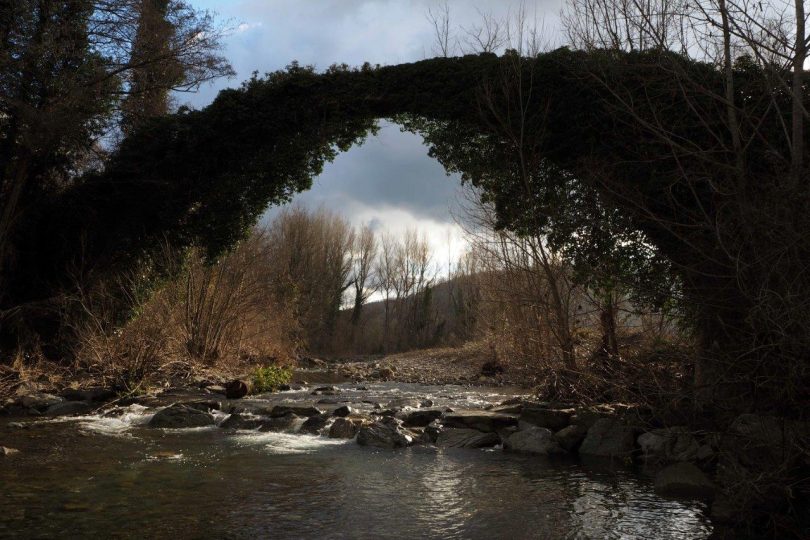
Descending a little further, you will start to smell the aroma and feel the dampness of the river and then you will hear it gurgling not far away until at last you will see the spectacular archway, which for centuries has towered over the watercourse.
Unfortunately, it is not possible to climb on it, due to the collapse of the embankments, but the view, wading through the cool waters of the stream, is enough to imbue you with the charming power of history. The surprises are not over: after a while, downstream, another bridge can be glimpsed, this time lower and wider, crossing the whole floodplain with many minor arches, to support an aqueduct transport system, proof of the many precious uses of water and the daring hydraulic engineering of ancient times.