Difficulty level

E

Zu Fuß

Tatti-Wald

The start of the route can be reached by a stretch of easy and clean dirt road that starts from the SP27 road going towards Ponsano.

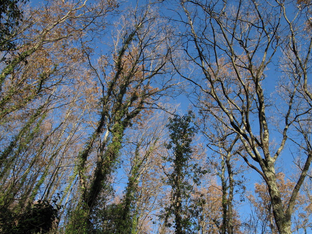
Tatti is one of the most important and best-preserved forests in Italy due to the presence of oak trees (Quercus petraea), which are not very common in the Mediterranean environment.

The forest is the heart and soul of this itinerary: you will enjoy losing yourself in the thousands of shades of green or autumn colours and imagine forestry activities being carried out, perhaps thanks to the immortal words of Carlo Cassola who set his novel “Il taglio del bosco” (the cutting of the woods) here.

The route starts from Dispensa di Tatti, a building used to house woodcutters, charcoal burners and guards, and then enters the valley of Botro delle Pilelle, in a beautiful holm oak wood. After crossing the small but lovely watercourse, where the Apennine frog can often be spotted, the trail leads along an old charcoal-burner’s route up the small valley of Botro Lecci, where numerous centuries-old oaks stand tall and sombrely rule the forest.

After returning to the ridge you wll once again thread along the forest road, in the area known as “Olmastrelli” until you will come across a stone commemorating the place where, in 1944, three large partisan units joined forces in the well-known XXXIII Brigata “Garibaldi” partisan army. After a short stretch along the dirt road, the path will take you back to the Botro valley, crossing a beautiful stretch of forest with turkey oaks, oaks and large holm oaks.

Continue

Itinerary

X

The start of the route can be reached by a stretch of easy and clean dirt road that starts from the SP27 road going towards Ponsano.

Tatti is one of the most important and best-preserved forests in Italy due to the presence of oak trees (Quercus petraea), which are not very common in the Mediterranean environment.

The forest is the heart and soul of this itinerary: you will enjoy losing yourself in the thousands of shades of green or autumn colours and imagine forestry activities being carried out, perhaps thanks to the immortal words of Carlo Cassola who set his novel “Il taglio del bosco” (the cutting of the woods) here.

The route starts from Dispensa di Tatti, a building used to house woodcutters, charcoal burners and guards, and then enters the valley of Botro delle Pilelle, in a beautiful holm oak wood. After crossing the small but lovely watercourse, where the Apennine frog can often be spotted, the trail leads along an old charcoal-burner’s route up the small valley of Botro Lecci, where numerous centuries-old oaks stand tall and sombrely rule the forest.

After returning to the ridge you wll once again thread along the forest road, in the area known as “Olmastrelli” until you will come across a stone commemorating the place where, in 1944, three large partisan units joined forces in the well-known XXXIII Brigata “Garibaldi” partisan army. After a short stretch along the dirt road, the path will take you back to the Botro valley, crossing a beautiful stretch of forest with turkey oaks, oaks and large holm oaks.

X

Hiking difficulty scale

T - Tourist

Itineraries on small roads, mule tracks or easy paths, with clearly evident routes that do not pose uncertainties or problems of orientation. They generally take place below 2000 m and usually constitute access to mountain pastures or refuges. They require some knowledge of the mountain environment and physical preparation for walking.

E - Hiking

Routes that almost always turn on paths, or on traces of passage in various terrain (pastures, debris, stony ground), usually with signs. They require a certain sense of orientation, as well as a certain experience and knowledge of the mountainous territory, walking training, as well as appropriate footwear and equipment. Normally the difference in altitude is between 500 and 1000m.

EE - Expert hikers

Routes not always marked and which require a good ability to move on various mountain terrains. They can be paths or even faint traces that wind over rough or steep terrain, with steep and slippery slopes, scree and short snowfields that can be overcome without the use of climbing equipment. They need a good mountain experience, firm footing and good physical preparation. It is also necessary to have adequate equipment and equipment, as well as a good sense of direction. Normally the difference in height is greater than 1000m.

EEA - Expert hikers with mountaineering equipment

Routes that require the use of via ferrata equipment (lanyards, harness, heat sink, helmet, etc.). They can be equipped paths or real via ferratas. It is necessary to know how to use the technical equipment safely and have a certain habit of exposure and mountaineering terrain.

MTB difficulty scale

TC - Tourist

Route on dirt roads with a compact and smooth surface, suitable for vehicles.

BC - For cyclists with good technical skills

Route on very bumpy dirt roads or on mule tracks and paths with a rather bumpy but fairly smooth surface or compact but irregular, with some natural obstacles (eg rock steps or roots).

OC - For cyclists with excellent technical skills

As above but on very bumpy and / or very irregular paths, with significant presence of obstacles.

EC - Maximum level for the cycle excursionist

Path on very irregular paths, characterized by steps and obstacles in continuous succession, which require trial-type techniques.

Menu
Share This